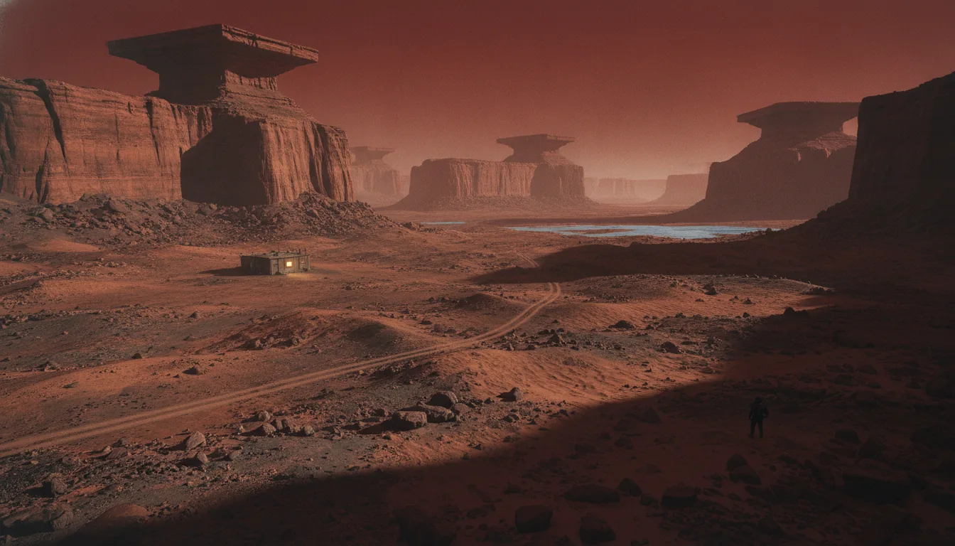
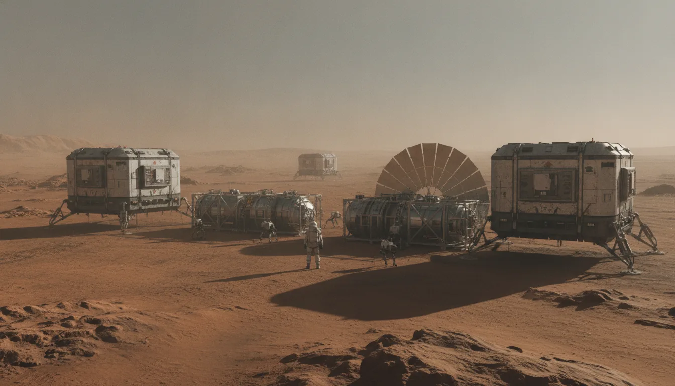
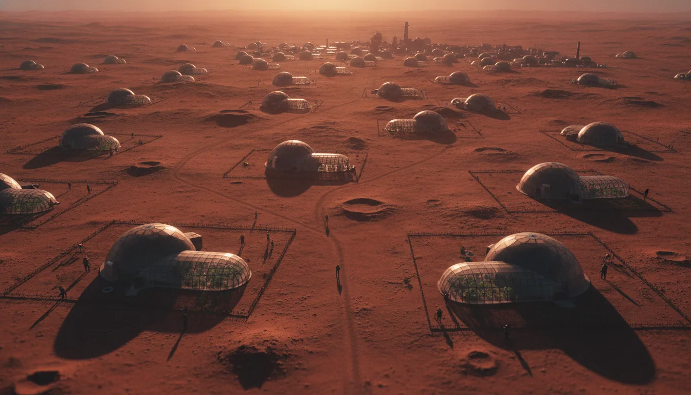
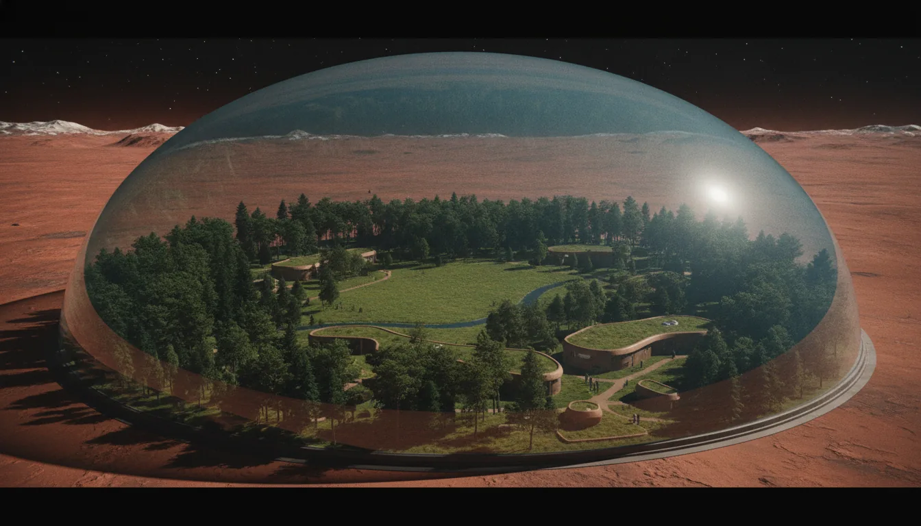
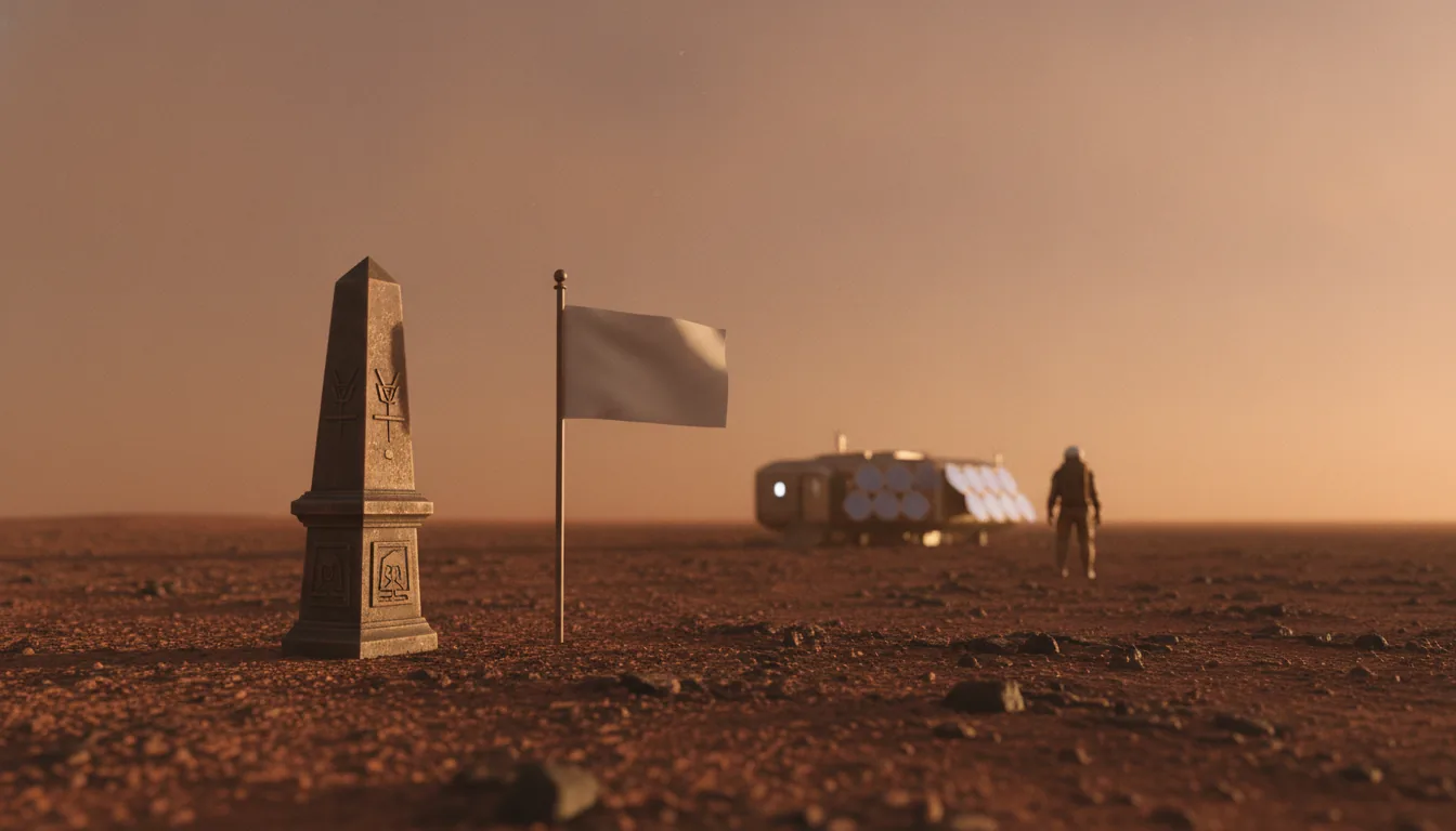
A lone figure in a spacesuit surveying a vast rust-red Martian plain at dawn
Original research · The Frontier Library

Where the first Martians will live.

We scored every candidate region on Mars with one reproducible eight-factor index. The winners don't scatter across the planet — they collapse onto a single narrow northern arc where minable ice meets landable ground.

A Red Homestead working paper· ~55 min read· 12 sections · 19 sources· Updated July 2026
🔬
Real planetary science, honestly sourced. This is a reasoned site-selection argument, not a promise any authority will recognize an off-world claim. No legal title is conveyed.
Abstract · A Red Homestead working paper

This is an original working paper, not a peer-reviewed study: a transparent attempt to answer one question with numbers instead of adjectives. Of all the ground on Mars, where will the first homestead actually be? We built the Homestead Viability Index — a reproducible eight-factor score — and ran all twelve canonical candidate regions through it.

The result does not scatter across the planet the way a tour of Martian wonders would. It collapses onto a single narrow northern arc — the Settlement Belt, roughly 35–48°N — the only latitudes where minable water ice overlaps low, flat, landable ground. Southern Arcadia Planitia leads at 86 / 100. Every figure is sourced to real mission data and peer-reviewed science; every weight is written down and arguable; and because honesty is the whole brand, our own Founding Tract at Acidalia scores an unglamorous B-, not a rigged A. You cannot own Mars today. You can read the same map physics reads — and stand, documented and in good faith, on the best part of it.

SETTLEMENT BELT 35–48°NTOP SCORE Arcadia 86/100SURFACE DOSE 0.64 mSv/dayMEAN PRESSURE 610 PaSOLAR 590 W/m² · 43% of EarthLAUNCH WINDOW every 779.94 daysUTOPIA ICE ≈ Lake SuperiorDEUTERONILUS ICE 80–90% pureCO₂ FROST reaches 50°ARMSTRONG LIMIT 6.25 kPaTERRAFORM CO₂ only ~7% of needSETTLEMENT BELT 35–48°NTOP SCORE Arcadia 86/100SURFACE DOSE 0.64 mSv/dayMEAN PRESSURE 610 PaSOLAR 590 W/m² · 43% of EarthLAUNCH WINDOW every 779.94 daysUTOPIA ICE ≈ Lake SuperiorDEUTERONILUS ICE 80–90% pureCO₂ FROST reaches 50°ARMSTRONG LIMIT 6.25 kPaTERRAFORM CO₂ only ~7% of need
Foundations

Why Where Beats When

Ask most people what makes the first Mars settlement possible and they will answer with a date. The next launch window. The year the rocket is ready. But the calendar is the easy part. Physics hands you the launch windows for free: Earth and Mars line up for an efficient transfer every 779.94 days, roughly every 26 months, and that rhythm is fixed by orbital mechanics no engineer can hurry. You do not choose when. You wait, and the window opens on schedule.

What you actually choose is where. And that single decision, the landing coordinates, is what separates a foothold that grows from a camp that quietly dies. First settlement is not a scheduling problem. It is a site-selection problem, and the site is scored in the hard currency of physics.

The surface does not want you there

Start with what every square meter of Mars has in common, because it explains why the differences matter so much. The average surface temperature is about -63 C (210 kelvin), colder than the coldest natural place on Earth. The air is almost not there: mean surface pressure runs near 6.1 millibars, about 0.6 percent of Earth's sea-level pressure. That is thinner than the vacuum in some laboratory chambers. Step outside unprotected and your blood would boil at body temperature before the cold ever finished you.

Then there is the radiation. Earth's thick atmosphere and magnetic field absorb the constant sleet of cosmic rays and solar particles. Mars has neither. NASA's Curiosity rover carried an instrument called RAD, the Radiation Assessment Detector, and measured the actual surface dose: about 0.64 millisieverts per day, which works out to roughly 0.23 sieverts per year (Hassler et al., Science, 2014). That is on the order of a hundred times the dose you'd absorb standing on Earth. It is a slow, invisible weather that never lets up.

You do not choose when you go to Mars. Orbital mechanics chooses that. You choose where you land, and that choice is the whole game.

Here is the thing to hold onto: those numbers are roughly true everywhere on the planet. They are the baseline every candidate site shares. So they cannot, by themselves, tell you where to land. What tells you where to land is how those brutal constants shift, region by region, and whether the one resource that changes everything is under your feet or a thousand kilometers away.

The resource that changes the math

That resource is water ice. And the reason it decides the map is that Mars is the first place we have ever proven you can live off the land. In 2021, a toaster-sized device on the Perseverance rover called MOXIE pulled breathable oxygen straight out of the Martian air, splitting carbon dioxide into O2 at a rate of 6 to 8 grams per hour. It was modest, but it was historic: the first time any resource was manufactured on the surface of another planet. It proved a principle that reshapes settlement entirely. You do not have to carry everything. You can make it there.

Water ice is the single factor that reorders the whole map. Air, water, and rocket propellant all trace back to it. A site with shallow, minable ice can make its own oxygen, its own drinking water, and its own return fuel. A site without ice can do none of those, no matter how flat, warm, or sunlit it is. This is why two regions with nearly identical landing conditions can score worlds apart.

Oxygen from the air is one thing. Water is the deeper prize, because water is drinking supply, radiation shielding, and, split into hydrogen and oxygen, rocket propellant to come home. A location with minable ice a meter or two down can bootstrap all three. A location without it is permanently on the supply line from Earth, tethered to that 26-month window, one missed cargo run from failure.

Landing coordinates are a physics score

So the choice of where is really a stack of physical constraints laid on top of each other, and only a narrow band of ground satisfies all of them at once. You need shallow ice you can actually mine, which pushes you away from the warm equator toward colder, higher latitudes. You need low, flat ground, because a heavy lander braking in that thin 6-millibar air needs every meter of atmosphere it can get and cannot risk steep slopes. You need tolerable temperatures and enough sunlight or a clear case for nuclear power. You need those conditions in the same place. Ice in a spot you cannot land does you no good. A perfect landing pad with no water is a staging depot, not a home.

That is why this thesis scores every candidate region on one reproducible index rather than arguing by anecdote. Rank the sites honestly on the factors that keep people alive, and the winners are not scattered romantically across the planet. They collapse onto a single narrow northern arc, the latitudes where minable ice and landable ground finally overlap. Where beats when because the window comes back every 26 months no matter what, but the ground you land on you are stuck with.

What you are choosing, and what you can hold

One more thing has to be said plainly, because it frames everything that follows. No one can sell you legal title to Mars land today. The 1967 Outer Space Treaty, in Article II, bars any nation from claiming sovereignty over celestial bodies, and with no sovereign there is no court and no registry that can convey enforceable ownership. What a site can carry instead is documented, good-faith possession, a clear, dated, public record of which parcel was chosen and why, on the physics. That is a forward claim and a piece of history, never an investment, never an appreciating asset, never a security.

Which is exactly why the coordinates matter more than the calendar. When you understand that the first homestead will be chosen by ice depth, elevation, slope, and dose, and not by whim, you can look at the same map the physics looks at. In the sections ahead we will build the index factor by factor, watch the candidates rise and fall on it, and arrive at the narrow band where the first settlement almost has to begin. Then you can survey a parcel there yourself.

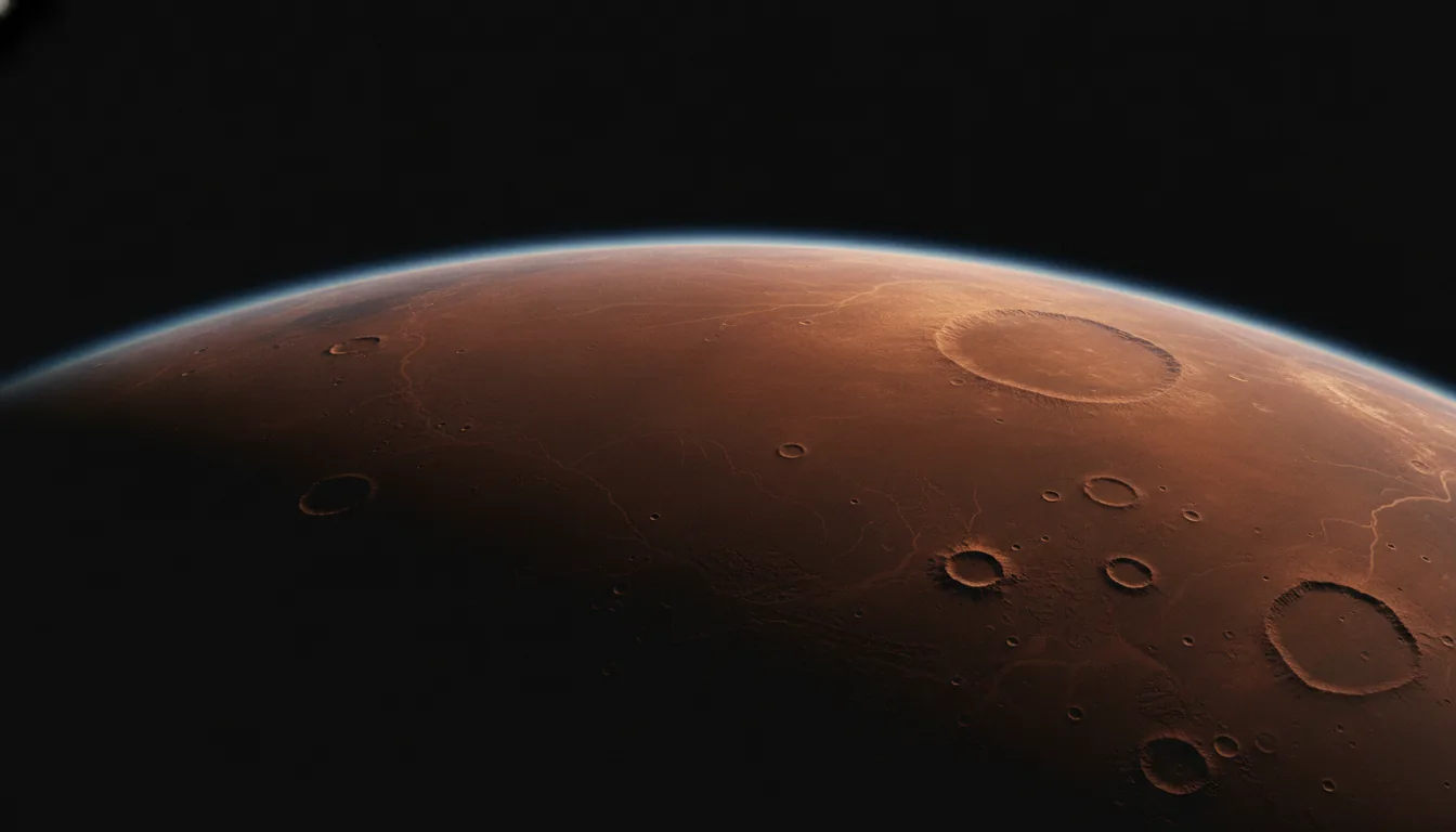
Mars seen from orbit at the dawn terminator, the northern lowlands catching first light
Where, not when. The launch window returns every 26 months no matter what. The ground you land on you are stuck with — so the whole problem is choosing it well.
The method

The Index: How to Score a Homestead

Picking the first human foothold on Mars is not a taste question. It is a filtering problem with a right answer, or at least a defensible one, and the surprising thing is how much of the work is already done. For a decade, teams at NASA, JPL, and SpaceX have been quietly narrowing the map. What nobody did was roll their conclusions into a single number you could check. That is the whole job of the Homestead Viability Index.

The map was already narrowing

Start with what came before, because the HVI does not invent the criteria. It inherits them.

In October 2015, NASA ran the First Landing Site/Exploration Zone Workshop for a human mission to Mars. The community proposed roughly 47 candidate Exploration Zones, each a circle about 100 kilometers in radius holding everything a crew would need. The ground rules were physical, not political. Stay within about 50 degrees of the equator, so you get enough sunlight and manageable cold. Stay below +2 kilometers of elevation, so there is enough air above you to slow a descending ship. And, again and again, the deciding factor was the same: accessible water ice. Zones lived or died on whether crews could mine water without hauling it from Earth.

Then the engineers tightened the noose. Matt Golombek's team at JPL, working the landing problem with SpaceX for the Starship class of vehicle, ran a downselect that ended with seven finalist sites. The constraints got harder. Latitude under 40 degrees. Elevation below -2 kilometers, with -3 preferred, because a heavy lander needs every meter of atmosphere it can get to brake. Slopes under 5 degrees measured at the 10-meter scale, because a tall vehicle setting down on a grade tips over. Notice the direction of travel: NASA said "below +2 km," the lander engineers said "below -2 km." Reality kept pushing the envelope lower, flatter, and toward ice.

And underneath all of it sits the ice map itself. NASA's SWIM project — Subsurface Water Ice Mapping — does not guess. It fuses four independent lines of evidence: neutron spectrometer data, thermal behavior of the ground, radar returns, and geomorphic clues like the shapes ice leaves in the terrain. Each pixel gets an ice-consistency score built from all four. SWIM is the de-facto ground truth. Any new index that claims to know where the water is has to answer to it.

Three separate teams, using different methods, kept drawing the same box on the map. The HVI just measures how deep inside that box each region sits.

What the index actually does

Here is the gap the HVI fills. All that prior work converged on the same envelope — low, flat, mid-latitude, ice-rich — but it lived in workshop reports, slide decks, and separate data layers. There was no single, portable score that let you line up Arcadia against Gale against Hellas and say, in one number, which is the better homestead and by how much. Rankings existed inside each study. A shared, auditable scale across all candidate regions did not.

So the HVI builds one. It scores every candidate on eight factors, each one a make-or-break axis of survival that the following sections take apart in turn:

  • Water ice — how much, how pure, how shallow, per SWIM.
  • Landing safety — can a supersonic-retropropulsion lander actually reach the ground here.
  • Elevation and air pressure — how much atmosphere sits above you to brake in and to work under.
  • Slope and terrain roughness — is the ground flat and smooth enough not to tip a ship or trap a rover.
  • Temperature — how cold, and how hard your habitat has to fight it.
  • Solar power — how much sunlight reaches the panels through latitude and dust.
  • Radiation shielding — how much natural cover the terrain and air pressure provide.
  • Dust hazard — how aggressively the local dust fouls machines, lungs, and solar arrays.

Each factor gets an integer score from 0 to 5 — 0 for hostile, 5 for excellent — because a coarse scale you can defend beats a precise one you can't. Each factor also carries a weight, and the eight weights sum to exactly 1.0. Water carries more weight than dust, because you can sweep a solar panel but you cannot conjure hydrogen. The final score is one line of arithmetic:

totalHVI = 20 × Σ(weight × score). You multiply each factor's 0–5 score by its weight, add the eight products together, and multiply by 20 to stretch the result onto a familiar 0-to-100 scale. A region that somehow scored a perfect 5 on all eight factors would land at exactly 100. Nothing on Mars does.

That is the entire machine. No black box, no neural net, no proprietary secret sauce. Just eight honest numbers, eight weights, and a multiplication. You can do it on paper. More to the point, so can anyone who wants to check your work.

Why transparency is the feature

The one thing the HVI does not pretend is that the weights fell from the sky. They are expert judgment — a considered decision that water matters more than warmth, that landing safety matters more than a pretty view. That judgment is arguable. Someone building a science outpost instead of a settlement might weight cached samples or geologic diversity far higher and get a different winner. Someone betting on early nuclear power might discount solar and let a colder, darker site climb the table.

This is a feature, not a flaw. The weights are written down. They are auditable, and they are changeable. They are not a law of nature; they are a hypothesis about what a first homestead needs, exposed so that anyone can contest it. Change a weight, rerun the one-line formula, and watch the ranking move. An index you can argue with is worth more than an oracle you have to trust, because the argument is where the real site selection happens.

That openness is also what lets the HVI be measured against the record instead of floating free. Its ice scores have to track SWIM. Its landing and elevation scores have to respect the -2-kilometer floor and the 5-degree slope limit the Golombek downselect established. Its latitude behavior has to sit inside the band the 2015 workshop drew. When the HVI's top region turns out to be the same mid-latitude, low, flat, ice-rich plain the SpaceX/JPL work already circled, that is not a coincidence to explain away. That is the index passing its first test: it reproduces the expert consensus, then puts a number on it.

From a scale to a place — and to a parcel

Once every candidate wears a score, the map stops being a debate and starts being a ranking. The regions sort themselves. A handful cross into the 80s, grade A. A long middle sits in the B range — good at some things, fatally short on one. A few collapse into the failing 20s, magnificent and impossible. The chapters ahead walk each of the eight factors in turn, watch the same narrow band light up every time, and show why the winners cluster where they do.

But the index is not only a way to read the map. It is a way to read a single piece of ground. Every factor that scores a region can score a parcel inside it: this square of Arcadia, at this latitude, this elevation, with this SWIM ice reading beneath it. The same eight numbers that rank the planet can rank a homestead. Before the section on where the water is, it is worth sitting with that — because the most interesting output of an auditable index is not the leaderboard. It is the moment you point it at one specific plot of Martian ground and ask it to tell you the truth.

How to read the index. Each region is scored 0–5 on eight survival factors. Each factor carries a weight (below); the eight weights sum to 1.0. The score is one line of arithmetic — totalHVI = 20 × Σ(weight × score) — stretched onto a familiar 0–100 scale. A perfect region would hit 100. Nothing on Mars does. The weights are expert judgment, written down so you can argue with them: change a weight, rerun the formula, watch the ranking move.

The eight weights
Water
0.20
Elev / EDL
0.16
Landing
0.14
Thermal
0.12
Power
0.12
Shielding
0.10
Dust
0.09
Logistics
0.07

Water carries the most weight (0.20) because you can sweep a solar panel but you cannot conjure hydrogen. Landing safety and elevation come next — the physics gates that kill a lander before any resource matters. The weights are the argument; they are shown so you can contest them.

Factor · Water

Water Is the Whole Game

Everything a Mars settlement needs traces back to one molecule. Water is drinking water, obviously. But split it with electricity and you get oxygen to breathe and hydrogen to burn. Combine that hydrogen with carbon dioxide pulled straight from the Martian air and you get methane, which is rocket propellant for the trip home. Water is also radiation shielding, because a wall of ice or wet regolith stops fast particles about as well as its mass of anything else. It is the working fluid for growing food. It is, in the most literal sense, the difference between a place you can stay and a place you can only visit.

So the first question for any candidate site is not "how pretty is the view" or even "how easy is the landing." It is: can you mine water here without hauling every drop from Earth? Shipping water across interplanetary space costs on the order of tens of thousands of dollars per kilogram delivered to the surface. A settlement that drinks, breathes, and refuels on imported water is not a settlement. It is a very expensive camping trip with a hard end date.

A landing site with no water is a depot. A landing site sitting on a buried glacier is a homestead. The whole map bends around that distinction.

The ice is real, and it is shallow

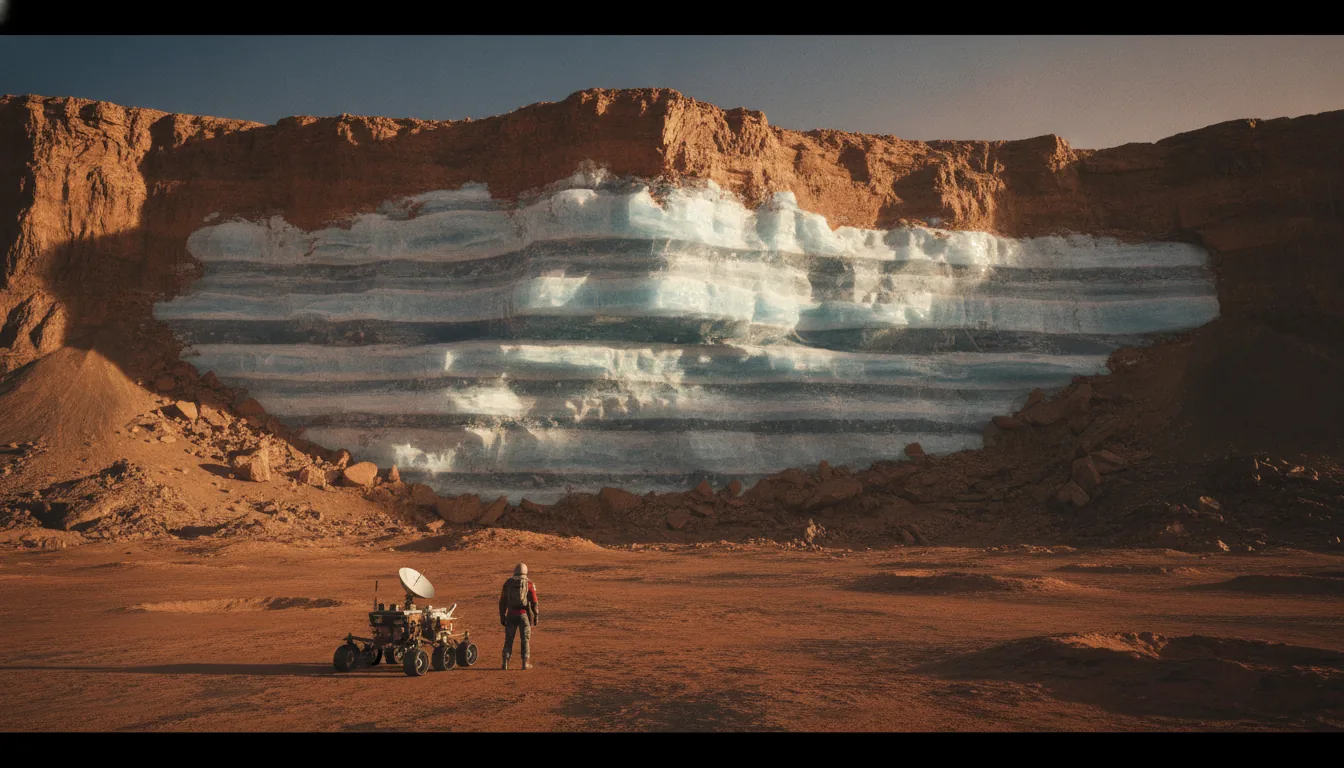
For a long time the honest answer about near-surface Martian ice was "we think it's there." That has changed. In 2018, Colin Dundas and colleagues at the U.S. Geological Survey published direct optical evidence: eight steep, eroding slopes where relatively pure water ice sits just 1 to 2 meters below the surface, exposed in cross-section like a cut cake. The ice sheets were more than 100 meters thick and appeared banded, suggesting they were laid down over many cycles of Mars's changing tilt. These sites clustered at 55 to 58 degrees latitude in both hemispheres. That paper mattered because it turned a modeled prediction into a photograph. You could see the ice.

The catch is latitude. Fifty-five degrees on Mars is genuinely cold and genuinely dark in winter, the rough equivalent of trying to homestead well inside the Arctic Circle. So the real engineering question became: how far toward the warm, well-lit equator does minable ice reach before it thins out and disappears?

That question is what the SWIM project was built to answer. SWIM, short for Subsurface Water Ice Mapping, is a NASA-funded effort that stacks five independent kinds of remote sensing, neutron spectrometers, thermal data, radar, and surface geology, and asks all of them to agree before it calls a spot icy. Its verdict is the backbone of the entire Settlement Belt argument. SWIM finds the strongest, most consistent ice signals poleward of about 40 degrees, with weaker but still positive signals reaching down to roughly 30 degrees north and 20 degrees south. Below that, near the equator, the ice consistency collapses.

Why the belt sits where it sits. Ice pushes you toward the poles for cold-stability reasons. Warmth, sunlight, and easy landings pull you toward the equator. The Settlement Belt is simply the overlap zone where those two demands are both barely satisfied at once, near 35 to 48 degrees north. It is a compromise written into physics, not a preference.

The water banks of the north

Some northern sites are not just icy. They are absurdly icy. Western Utopia Planitia hides a buried ice deposit that ground-penetrating radar sizes at 8,400 to 14,300 cubic kilometers of material that is 50 to 85 percent ice by volume, in a layer 80 to 170 meters thick. Put a number on that you can feel: the midpoint of that range is roughly the volume of Lake Superior, about 12,090 cubic kilometers of water, sitting under flat plains that a lander has already touched down on. One deposit holds enough water to supply a city for as long as anyone can plan for. This is why western Utopia is described less as a first landing pad and more as the belt's long-term water bank.

Farther into the highlands, the Deuteronilus and Protonilus Mensae region hides ice of a different, purer kind. These are lobate debris aprons, which are debris-covered glaciers, tongues of ice buried under a protective blanket of rock. Radar analysis by Petersen and colleagues in 2018 found the ice inside them runs 80 to 90 percent pure water ice. That is nearly clean glacial ice, the good stuff, sitting a short distance underground. The problem, which we'll get to in the landing section, is that it sits inside fretted, cratered terrain that is very hard to set a heavy ship down in. It is a vault, not a doorstep.

Can you actually dig it out?

Confirmed ice is necessary but not sufficient. It has to be minable, which means shallow enough and reachable with hardware that exists or nearly exists. This is where Arcadia Planitia, the front-runner region, earns its lead. Arcadia's excess-ice layer, the ice beyond what the pore space of the soil could hold, has a modeled base at a mode depth of about 42 meters, with the top of the ice far shallower. And there is real drilling hardware aimed at exactly this problem. Honeybee Robotics' RedWater system, adapted from terrestrial Rodwell technology used to melt water wells in Antarctic ice, is designed to reach ice under 20 meters or less of overburden, and at some Arcadia sites the covering soil is modeled to be as thin as under 30 centimeters. RedWater has been demonstrated to Technology Readiness Level 5, meaning it has been tested as an integrated system in a relevant, Mars-like environment. That is not flight-proven, but it is well past a sketch on a whiteboard. Real, established engineering, not science fiction.

Thin overburden is the whole ballgame for mining. Under 30 centimeters of dirt, you are effectively scraping and melting. Under 42 meters, you are running a serious drilling operation. Both are doable; one is dramatically cheaper. This is the quiet reason the water-scoring on our index separates the belt regions, which post 4s and 5s, from the equatorial sites, which post 1s and 2s. Every equatorial candidate, Elysium, Gale, Jezero, Meridiani, is a strong performer on landing, power, and warmth, and a near-total failure on water. That single column is what pushes them out of the belt.

What is honestly still contested

Good science writing has to flag its own soft spots, and Arcadia has one. The very deposit that makes Arcadia the front-runner is the subject of a genuine scientific disagreement. On one side, Ali Bramson and colleagues in 2015 used radar and crater geometry to argue for a widespread, decameters-thick excess-ice layer across the region, the reading this whole thesis leans on. On the other, Bruce Campbell and Gareth Morgan in 2018 analyzed the same class of radar data and concluded the shallow subsurface there is largely ice-free, or at least not the clean slab the optimistic reading requires. Both are careful, peer-reviewed teams. The disagreement is not yet fully resolved, and it is one of the main reasons the first robotic scouts will carry drills and neutron spectrometers rather than just cameras. You confirm the water before you commit the base.

That uncertainty is exactly why the belt is an arc and not a single dot. If Arcadia's shallowest ice underperforms, the warmer Amazonis margin to its south or the ice-rich Utopia and Acidalia plains to its north pick up the slack. The water line runs east to west across the northern lowlands for thousands of kilometers, and a smart settlement anchors on the strongest confirmed patch, then expands along it.

This is what makes a specific parcel worth understanding rather than a whole hemisphere. The difference between a documented tract sitting over confirmed shallow ice and one sitting over dry, dusty plains is not cosmetic. It is the difference between ground that can support a life and ground that can only be flown over. When you look at where a forward claim is actually staked, that buried water line is the first thing worth checking, because on Mars, water is not one factor among eight. It is the factor the other seven are arguing about.

An exposed cliff on Mars revealing a thick band of pale blue-white water ice beneath rusty soil
The ice is real, and it is shallow. Dundas et al. (2018) photographed relatively pure water ice 1–2 m down in eroding mid-latitude scarps. The question the belt answers: how far toward the warm equator does minable ice reach before it thins out?
Factor · Landing

Landing Is the Filter

Water tells you where you would want to live. Landing tells you where you are allowed to. Before a settlement can drink, farm, or dig, a ship carrying it has to survive the single most dangerous seven minutes in spaceflight, and that gauntlet throws out most of the planet before any other factor gets a vote. Entry, descent, and landing, or EDL, is the first hard filter in the Homestead Viability Index, and it is unforgiving in a way water never is. You can haul water a few kilometers. You cannot haul a crashed ship anywhere.

Here is what actually happens. A spacecraft arrives at the top of the Martian atmosphere moving at roughly 5.8 kilometers per second relative to the ground, about 13,000 miles per hour. From that instant it has around seven minutes to shed nearly all of that speed and set down intact. Mars is far enough away that radio takes minutes to cross the gap, so no one on Earth can fly the descent. By the time controllers see the vehicle hit the atmosphere, it is already alive or dead on the surface. Every EDL is fully autonomous. The vehicle brakes, steers, and lands on its own logic, and the ground crew simply waits for the signal that says it worked.

The thin-air problem

The reason EDL is so brutal is that Mars gives you the worst of both worlds. The atmosphere is thick enough to cook a heat shield but too thin to stop you. It is about 1 percent the density of Earth's air at the surface. That sliver of gas will slow a small robot, which is why every rover so far has used a parachute for the middle of the descent. But parachutes have a hard ceiling. They work well for landers under roughly 1 metric ton, and they become impractical above about 20 metric tons. Beyond that mass, no fabric canopy you could realistically build and deploy at supersonic speed can carry the load. The air is simply too thin to push against.

To feel the limit, look at what it already takes at small scale. NASA's Perseverance rover, which landed in 2021, flew a 21.5-meter parachute, the largest ever deployed at Mars, roughly the width of a seven-story building laid flat. That enormous canopy was doing its job for a payload measured in single-digit tons. Now imagine a human lander. A ship built to carry people and cargo lands somewhere in the 20 to 100 metric ton class. There is no parachute on the drawing board that scales to that. A canopy big enough would shred itself on deployment.

The air that saves a rover cannot catch a settlement. Anything heavy enough to carry people has to land on rocket thrust, firing engines downward while still moving faster than sound.

So heavy landers do something that has never been done at Mars: supersonic retropropulsion. They light their engines while still traveling faster than the speed of sound and thrust against their own direction of travel, using rocket exhaust rather than a parachute as the primary brake. SpaceX's Starship architecture is built around exactly this maneuver. It is plausible engineering, grounded in real physics and in decades of propulsive-landing work, but it has never flown at Mars and it is genuinely hard. And it changes the ground rules for where you are allowed to touch down.

What a heavy lander demands of the ground

A rocket-braked ship needs a specific kind of real estate, and the requirements are strict enough that they eliminate most of Mars on their own. Landing safety planners score candidate terrain on a short, unglamorous checklist:

  • Low and deep. The lower the ground sits, the more atmosphere is stacked above it to help brake, and the more time the vehicle has to slow down. High ground gives you less air and less margin.
  • Flat. Landing sites generally need slopes under 5 degrees measured over 10-meter baselines. A ship that touches down tilted can tip, and a tipped ship on Mars is a total loss.
  • Not too rocky. The working rule is a rock coverage under roughly 20 percent of the area. A field studded with boulders can puncture a tank, jam a landing leg, or high-center the vehicle.
  • Radar-bright and readable. The ground has to return a clean landing-radar signal and be smooth at the scale of the ship's footprint, not just to the eye from orbit.

The reason we can even score these things is orbital imaging good enough to count individual rocks. NASA's HiRISE camera resolves the Martian surface at about 31.7 centimeters per pixel, sharp enough to pick out rocks around 95 centimeters across, roughly a meter-wide boulder. That is the difference between guessing and knowing. Planners have used exactly this imagery over Southern Arcadia Planitia, in tiles centered near 40.016 degrees north, to map hazards down to individual dangerous rocks before anyone commits a ship.

Think of it this way: the landing filter does not ask whether a region is interesting, scenic, or resource-rich. It asks a colder question. Can a 100-ton ship, flying itself, moving faster than sound, brake against thin air and set down without tipping or tearing open? For most of Mars the honest answer is no.

Why this narrows the map to a northern arc

Stack those requirements and the planet shrinks fast. The southern highlands are too high and too rough. The great volcanoes of Tharsis stand so far above the datum that there is barely any atmosphere to brake in. Valles Marineris has the deep air a lander would love, but its 7-to-11-kilometer walls make an approach a nonstarter with today's guidance. Crater floors and fretted, glaciated terrain are cluttered with slopes and boulders. What survives the landing filter is a specific kind of ground: broad, low, smooth northern plains.

This is where the landing filter and the water map start pointing at the same place. Arcadia Planitia sits 3 to 4.5 kilometers below the datum, low enough to give a heavy lander a real atmospheric cushion, and it is flat, smooth, and radar-friendly across enormous stretches. When landing-safety analysts scored candidate tracts there, specific sites labeled AP-1 and AP-8 came out among the safest touchdown zones identified anywhere on Mars. That is not a coincidence of geology alone. It is the same low, flat, northern-lowland character that the ice-mapping data also favors, which is why the SpaceX and JPL site studies keep converging on roughly 40 degrees north in Arcadia from independent directions.

The landing filter, in other words, does not merely subtract bad ground. It sharpens the whole thesis. The regions that pass it are a short list of low northern plains, and those are the same plains where shallow ice sits within reach. Elevation, flatness, and radar smoothness are doing quiet work in the background of every high-scoring site in the Settlement Belt. A place can have magnificent water and still be unreachable, which is exactly why glacier-rich but rugged terrain scores lower than smooth, boring Arcadia. First you have to survive the seven minutes. Only then does everything else matter.

Standing on ground that already passed

What makes this concrete is that the landing filter has already been run over real coordinates. The safe tracts in Southern Arcadia are not a hopeful sketch. They are specific mapped parcels, imaged at 30-odd centimeters per pixel, scored on slope and rock coverage, and flagged as among the few places on Mars where a heavy ship can plausibly set down. That is the ground the physics keeps choosing. When you survey a parcel in the Settlement Belt, you are not picking a dot at random on a red globe. You are documenting a good-faith claim on terrain that has already cleared the first and hardest filter every arriving ship will have to pass, the low, flat, radar-bright ground where Mars actually lets you land.

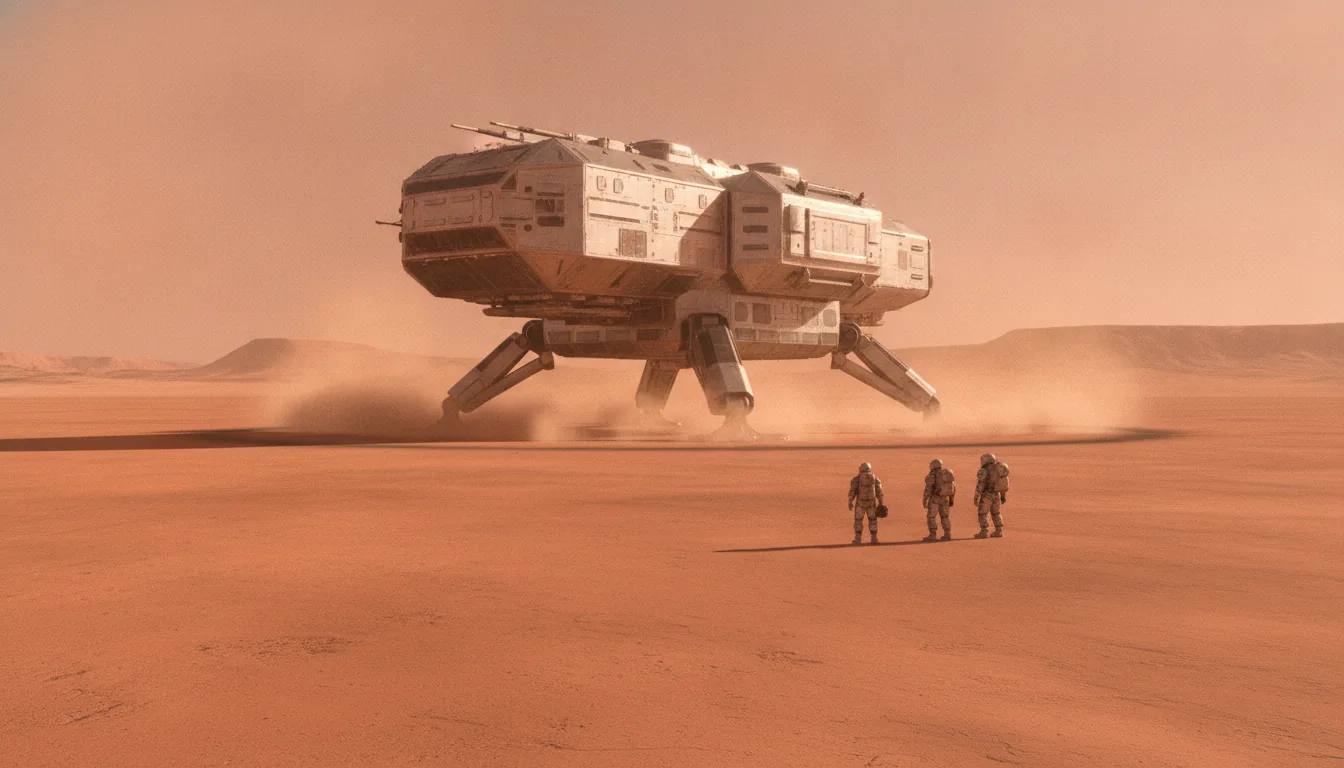
A tall cargo lander standing on a flat rust-red plain, dust settling around its legs
Landing is the filter. A settlement-class ship (20–100 t) is too heavy for any parachute and must brake on rocket thrust in air 1% as thick as Earth's — which is why it needs low, flat, radar-bright ground, and why most of Mars is disqualified before water ever gets a vote.
Factor · Air

The Pressure Basement

Everything on Mars sits at the bottom of a very thin air column. The planet's mean surface pressure is about 610 pascals — roughly six one-thousandths of Earth's 101,000 Pa at sea level. Put another way, the entire Martian atmosphere presses down with less force than the air inside a half-inflated party balloon. That single number ripples through almost every decision a settlement has to make, and it is set, more than anything else, by one thing you can read straight off a topographic map: elevation.

Air on Mars thins out with height on a predictable curve. Every time you climb about 11.1 kilometers — the atmosphere's scale height — the pressure drops by roughly a factor of e, about 63 percent. Go down instead, and the column above you gets taller and heavier. So the deepest basins carry the densest air, and the great volcanic summits carry almost none. This is why elevation, not latitude or geology, is what governs the pressure at your boots.

The range, floor to ceiling

The spread is enormous. On the floor of Hellas Planitia, the deepest basin on the planet at roughly 7 to 8 kilometers below datum, pressure climbs to about 1,155 Pa — nearly double the global mean. At the other extreme, the summit of Olympus Mons, which stands some 21 kilometers above datum, holds only about 72 Pa. That is a sixteen-fold difference in air pressure between the lowest and highest points on the same world. The summit air is so thin it barely qualifies as atmosphere at all — closer to a hard vacuum than to anything a lander or a lung can use.

This is the first reason Hellas keeps showing up in the "champion" column of any physical ranking and Olympus keeps scoring an F. On raw pressure and the radiation shielding that comes with a thick column, Hellas is genuinely the best address on Mars. On the same two measures, the Tharsis summits are the worst place you could possibly stand.

Why more air is better — up to a point

A denser column buys you two real things. The first is braking. A Mars lander sheds most of its speed by ramming into the atmosphere, and thin air is a poor brake. More air column overhead means more drag to work with before you have to light engines and burn precious propellant. That is why the deep basins are the friendliest places to arrive, and why elevation is effectively a landing constraint dressed up as a pressure number.

The second thing a thick column buys is a modest radiation break. Air has mass, and mass between you and space stops some of the incoming particle flux. It is not a large effect on Mars — the whole atmosphere weighs about as much as a couple of centimeters of water spread over your head — but in the deepest basins it is measurably better than on the heights. Hellas and the floor of Valles Marineris, where the canyon floor runs 3 to 7 kilometers below the surrounding plateaus, both get a small but real shielding bonus from sheer column density. It is one of the few places the air does you a favor beyond breathing.

Elevation is the quiet master variable here. Pick a spot low enough to land and to catch a little extra shielding, and you have already made two of your hardest engineering problems easier — before you have laid a single panel or drilled a single meter of ice.

The basement has a ceiling you cannot reach

Here is the hard truth that gives this section its name. However much the deep basins help, none of them comes close to the pressure a human body needs. The threshold is the Armstrong limit, about 6.25 kilopascals — roughly 6,250 Pa. Below that pressure, water boils at human body temperature. Exposed to it, the moisture in your eyes, your saliva, the fluid lining your lungs would flash to vapor. It is the altitude, on Earth around 19 kilometers up, past which no pressure suit is optional.

Now compare. The single highest-pressure spot on all of Mars — the floor of Hellas at 1,155 Pa — sits about five times below the Armstrong limit. The global mean of 610 Pa is more than ten times below it. There is no basin deep enough, no season generous enough, no future terraforming-free trick that closes that gap. You could stand on the lowest ground Mars has to offer and your blood would still, in effect, begin to boil.

Nowhere on Mars comes within a factor of five of the pressure a human body needs. Pressurization is not a design preference. It is the whole premise of living there.

So the practical conclusion is blunt: pressurization is non-negotiable, everywhere, always. Every habitat, every rover cabin, every greenhouse, every suit is a sealed pressure vessel holding roughly one Earth atmosphere against a near-vacuum outside. The difference between the best and worst sites on Mars is not "shirtsleeves versus suit." It is "suit" versus "suit." What elevation actually decides is easier landing and a marginally thinner radiation dose — worth real points in the index, but never a path out of the pressure suit.

The seasonal wobble, and the landable floor

The thin column is not even steady. Mars runs a planet-wide seasonal cycle in which carbon dioxide — the bulk of the atmosphere — freezes out onto whichever pole is in winter, then sublimes back in spring. As it does, the total surface pressure swings by 25 to 30 percent over the year. A quarter of the air, quite literally, snows onto the ground and comes back. Any system that depends on atmospheric density, from aerobraking to a wind turbine to a CO2-harvesting fuel plant, has to be built for that annual breathing.

For landing, all of this collapses to a rule of thumb about elevation. Every successful Mars landing in history has touched down below roughly -1.4 km on the MOLA elevation scale, because higher ground simply does not offer enough air to brake in. The heavy vehicles now being designed want to go lower still: SpaceX's Starship architecture targets sites below -2 to -3 km to give supersonic retropropulsion enough column to work with. That single preference quietly disqualifies most of the planet's surface, which sits above it.

And it is why Valles Marineris, for all its deep-air pressure and canyon-wall shielding, scores only a middling grade. The floor is a prize — but the 7-to-11-kilometer walls around it make it a place today's landers cannot reach. High column density is worthless if you cannot get a ship down into it. The pressure basement rewards the sites that are deep and open and flat, not merely deep.

Which points, again, toward the low northern plains — and toward the parcels within them worth putting your name on. If you want to see exactly where the landable floor and the ice line overlap, that is the ground worth surveying next.

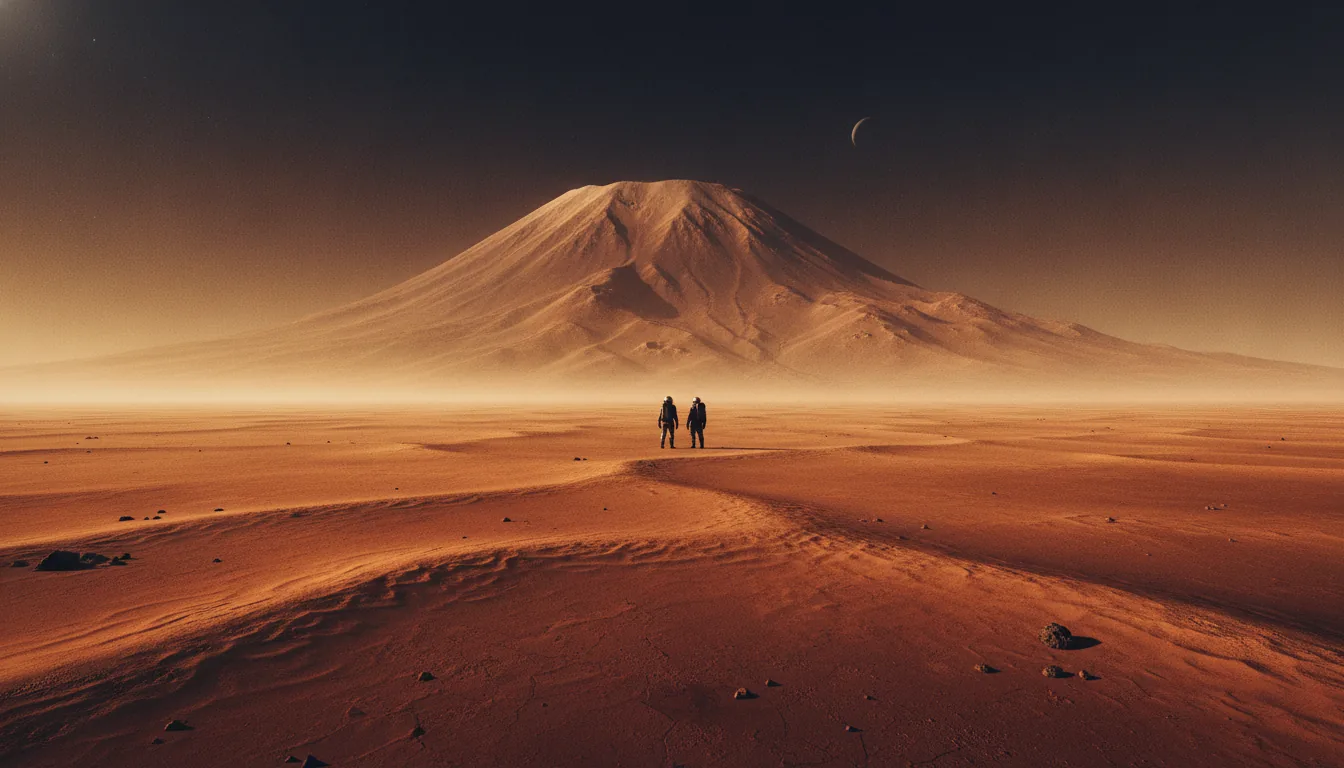
A deep Martian basin floor with a towering shield volcano on the far horizon
Elevation is the master variable. Pressure runs from ~1,155 Pa on the floor of Hellas to ~72 Pa atop Olympus Mons — a 16× spread. Lower ground means more air to brake in and a small radiation break. None of it reaches the Armstrong limit: pressurization is non-negotiable everywhere.
Factor · Warmth

Cold, and the Warmth-vs-Ice Trade

Mars is cold the way the deep ocean is deep: not as a mood but as a governing fact. The global mean surface temperature is about -63°C. That is colder than the coldest natural temperature ever recorded on Earth, and it is the average, not the extreme. A homestead has to be built inside that number, not around it. But the cold is not the same everywhere, and the way it varies from equator to pole is the quiet reason the Settlement Belt sits where it does. Ice wants to be far from the equator. Warmth wants to be on it. The belt is the narrow band where those two demands meet in the middle.

The equatorial furnace that isn't

Start with the tropics, because that is where intuition sends you. On Earth, if you want warmth, you go to the equator. Mars honors that rule during the day and then breaks your heart at night. Equatorial Mars can reach roughly +20°C at midday in summer, genuinely shirtsleeve-warm on the ground. Then the sun goes down and the temperature falls to about -73°C. That is a daily swing near 90 to 100°C in a single sol. The reason is the atmosphere, or rather the lack of one. Mars carries less than one percent of Earth's air pressure, so the surface has almost no thermal blanket. Nothing holds the day's heat. The moment the sun clears the horizon the ground dumps its warmth straight to space.

We have measured this from the surface, not just from orbit. Curiosity's REMS weather station in Gale Crater, sitting near the equator, has recorded afternoon air highs close to 0°C and nighttime lows near -70°C, sol after sol. So the "warm" equator delivers a few pleasant hours bracketed by a brutal night. Warmth on Mars is real, but it is thin and it is brief, and any settlement design has to survive the low end, not enjoy the high end.

Why the cold pushes water off the surface entirely

Cold plus thin air does something to water that Earth never prepares you for. Water has a triple point, the exact pressure and temperature where solid, liquid, and gas can coexist, at 6.117 millibars and 273.16 K. Below that pressure, liquid water is not just rare; it is impossible. Ice does not melt into a puddle. It sublimates, going straight from solid to vapor, the way dry ice does on a warm table. Across essentially the entire Martian surface the pressure sits below or right at that threshold, which is why there is no stable liquid water anywhere on the surface of Mars. This is the fact that fuses the cold problem to the water problem. You cannot pump it, you cannot pond it, you can only mine it as ice, and ice only survives where it is cold enough and buried enough to keep from vanishing into the sky.

On Mars the warmth and the water live at opposite ends of the same map, and a homestead has to reach an arm toward each.

How far the frost marches

Now go the other direction, toward the poles, and a different substance takes over. It gets cold enough on Mars for the air itself to freeze. Carbon dioxide, which is most of the atmosphere, condenses into surface frost at about 148 K, roughly -125°C. Every winter that CO2 frost point sweeps down out of the polar night and reaches all the way to about 50°N and 50°S. Think about that. It is not the ground quietly icing over; it is a season so cold that a chunk of the sky settles onto the dirt as dry-ice frost, then lifts back off in spring. Above 50 degrees of latitude, winter is not a temperature you engineer against so much as a phase change you wait out.

That marching frost is the outer wall of habitability. It is why nobody sane proposes a first base at 60 or 70 north, however much water is stacked up there. The seasonal CO2 blanket, the months of darkness, and the power cost of both make the high latitudes a reserve, not a doorstep.

The compromise band

So we have two opposing pulls. Warmth and light improve as you move toward the equator. Buried, stable water ice improves as you move toward the poles. Neither extreme is livable. The equator is warm and essentially dry. The high latitudes are ice-rich and murderously cold and dark. The homestead has to sit where the curves cross.

Here is the number that makes the belt real. Orbital neutron and radar surveys, consolidated in NASA's SWIM (Subsurface Water Ice Mapping) effort, show shallow, minable ice reaching equatorward to about 30°N in the northern hemisphere and roughly 20°S in the south. That is the ice line creeping toward you. Meanwhile the seasonal cold and darkness make everything poleward of the mid-40s progressively harder to power and heat. The best overlap, the place where you can still reach ice a few feet down while keeping the site warm enough and bright enough to run, lands at about 30 to 40 degrees latitude.

The one-line version: shallow ice reaches down to about 30°N, the CO2 winter reaches down to about 50°N, and warmth and sunlight fade the whole way north. Squeeze those three trends together and the survivable, minable band is roughly 30 to 45°N. That is not a coincidence near the Settlement Belt. That is the Settlement Belt's thermal skeleton.

What this does to the scores

You can see the trade playing out region by region. Amazonis Planitia, near 25 to 35°N, is the warm inner edge, the flattest, best-lit of the ice plains, and it scores an A- at 83.2. Push to Arcadia Planitia at roughly 35 to 48°N and you gain ice confidence but lose warmth and sunlight; it still tops the index at 86.2 because its water and landing numbers are that strong, but it is honestly cold and solar-poor, which is precisely what nuclear fission is meant to solve. Go further to western Utopia at 45 to 47°N and the cold and dark drag a Lake-Superior-sized ice reserve down to a B. Cross to Acidalia's Founding Tract at 49.8°N and latitude docks it hard on warmth and power, holding it to a B-. The pattern is the whole argument: every step poleward buys water and spends warmth.

The equatorial sites show the mirror image. Elysium Planitia at 4.5°N is flat, warm, and well-lit, the best place on Mars to land, and it earns a B only to be described honestly as the worst place to stay thirsty, because it is essentially ice-free. Gale Crater, where Curiosity measured those near-0°C afternoons, is a proven, benign, warm basin that has everything a settlement needs except the one thing that matters most. Warmth without water is a campsite. Water without warmth is a mine. The belt is the short stretch of Mars where you can have enough of both to build a home, and that is the ground worth walking before it is claimed.

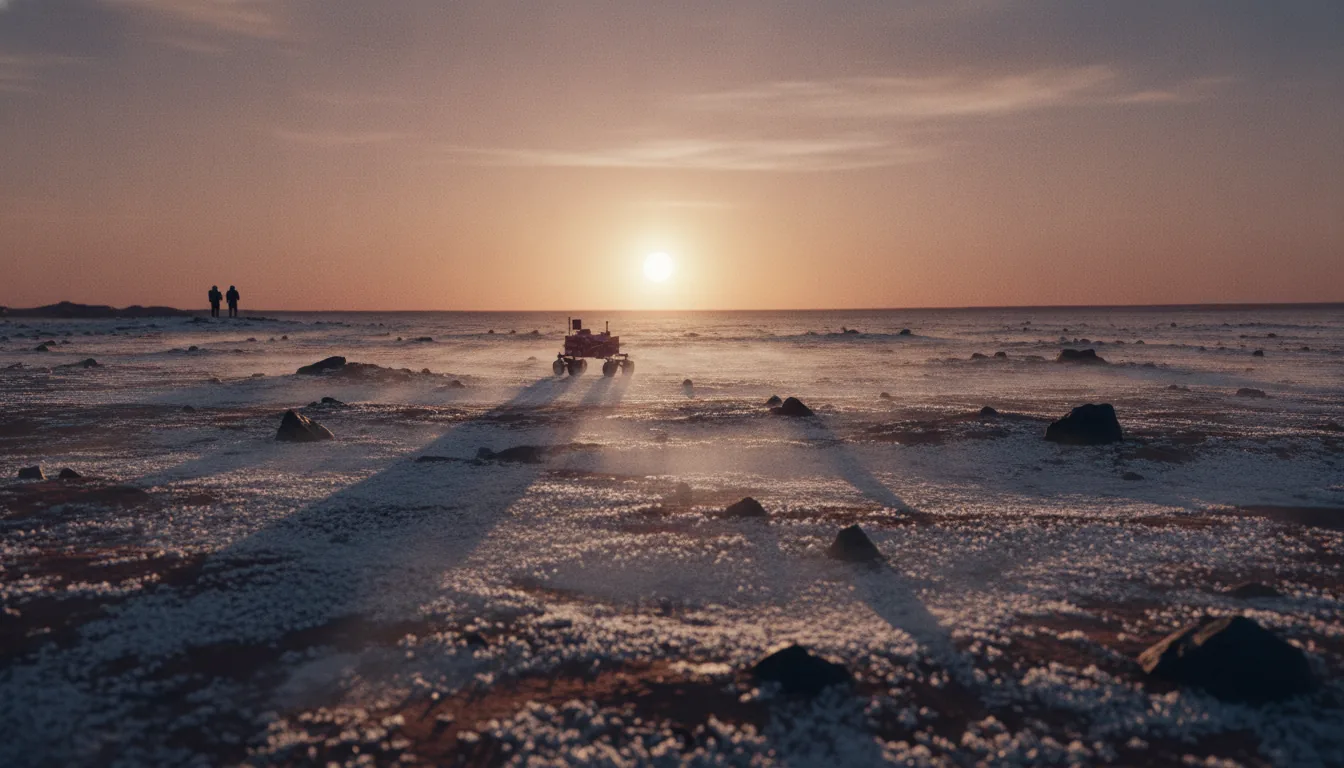
First light over a frost-dusted Martian plain, CO2 frost sublimating in wisps
The warmth-vs-ice trade. Warmth improves toward the equator; stable shallow ice improves toward the poles. The belt is the compromise band near 30–45°N where you can still reach ice a few feet down while keeping the site warm and bright enough to run.
Factor · Power

Keeping the Lights On

A settlement runs on power the way a body runs on blood. Cut it off and everything stops at once: heat, water, oxygen recycling, the pumps that keep the greenhouse from freezing solid overnight. On Earth we treat the grid as a background fact. On Mars, power is the first thing you build and the last thing you can afford to lose. So the honest question for any candidate homestead is not "can you generate electricity here?" It is "can you generate electricity here on the worst day of the year, for weeks, with no help coming?" Answer that, and you have mostly answered where people can actually live.

Start with sunlight, because it is free and it is first on everyone's mind. Mars gets about 590 watts per square meter of sunlight at the top of its atmosphere on average, which is roughly 43% of what Earth receives. That is the mean. The number swings hard over the Martian year because the planet's orbit is stretched: at aphelion, the far point, insolation drops to about 493 W/m², and at perihelion, the near point, it climbs to about 717 W/m². So even before a single dust grain enters the picture, a solar array's output rises and falls by nearly half depending on the season. Build for the good months and you starve in the lean ones.

The dust does the killing

The atmosphere is where solar power on Mars goes to die. Astronomers measure how much sunlight the air blocks with a quantity called optical depth, written as tau. On a clear day tau sits around 0.5 — thin, hazy, livable. But Mars runs global dust storms, and during the great planet-encircling storm of 2018, optical depth over the worst regions spiked to about 10.8. That is not a cloudy afternoon. That is a brown-out of the entire sky, day after day, for weeks. Each unit of tau multiplies the light loss, so a jump from 0.5 to 10.8 does not cut your power in half — it very nearly switches it off.

We do not have to imagine what that does to a solar-powered machine, because we watched it happen. NASA's Opportunity rover had run on solar panels for more than fourteen years. When the 2018 storm rolled over it, the rover's power collapsed by about 97%, down to roughly 22 watt-hours a day — not enough to run its heaters, let alone talk to Earth. It went silent and never woke up. A global dust storm killed a spacecraft that Mars had otherwise failed to kill for a decade and a half.

A global dust storm killed a spacecraft that Mars had otherwise failed to kill for fourteen years.

And these storms are not rare freak events. Regional dust storms happen every Martian year, and planet-encircling ones arrive roughly every few years, most often when Mars is near perihelion — which is exactly the season the southern hemisphere gets its summer. A settlement cannot power down for three weeks. The greenhouse would freeze, the water plant would seize, and the people inside would be reduced to burning battery reserves they can never realistically size large enough to ride out a storm of unknown length. This is the single fact that reshapes the whole map: solar is competitive only near the equator, only in the clear seasons, and never with certainty.

Even without storms, dust is a slow leak. Fine airborne grit settles onto panels and dims them at a routine rate of about 0.2% per sol — roughly 6% a month of lost output. On Earth, rain cleans your panels for free. On Mars, someone has to go out and sweep them, forever, or watch the array quietly fade.

Why fission wins nearly everywhere

The alternative is to make your own sun. Nuclear power does not care whether the sky is clear, whether it is aphelion or perihelion, whether a dust storm has been raging for a month, or whether it is the middle of a two-week polar-adjacent night. It produces the same steady output at noon and at midnight, in June and in a brown-sky emergency. For a place where losing power means losing lives, that reliability is not a luxury. It is the whole argument.

Two kinds of nuclear power matter here, and it helps to keep them straight. The first is radioisotope power — the plutonium-fed generators that have run deep-space missions for decades. The MMRTG that powers the Curiosity and Perseverance rovers produces about 110 watts of electricity from 4.8 kilograms of plutonium-238, converting the heat of natural decay directly into current. It is superbly dependable, but 110 watts is a household lightbulb's worth of power. You cannot run a settlement on lightbulbs.

The second kind is fission — an actual reactor, splitting atoms on demand — and this is what changes the game. In 2018, NASA and the Department of Energy ran a ground test called KRUSTY that demonstrated a compact space fission reactor producing about 1 kilowatt of electricity, proving the design worked end to end, including safe automatic shutdown. That was the proof of concept. The scale-up followed fast. In 2022, NASA awarded contracts under its Fission Surface Power program for 40-kilowatt reactors designed to run for a decade on the Moon and, by extension, Mars. And in August 2025, a federal directive pushed harder still, targeting a reactor of at least 100 kilowatts of electricity ready for flight by roughly the first quarter of 2030.

Put those numbers next to a solar array and the contrast is stark. A hundred kilowatts, delivered flat through every storm and every night, is enough to anchor a real base — life support, water mining, propellant production, a greenhouse — without a single anxious glance at the sky. A single reactor the size of a small truck replaces acres of panels that a dust storm can neutralize in a day. This is why, on any rigorous scoring of Martian ground, fission is treated as the default power source nearly everywhere, and solar is treated as a fair-weather supplement.

What this does to the map

Here is the part that matters for choosing a homestead. Because fission works anywhere, power stops being a reason to crowd onto the sunny equator. It frees the settlement to go where the things you cannot manufacture actually are — namely water ice, which sits in the cold northern mid-latitudes, not the warm tropics. Arcadia Planitia, the front-runner around 40°N, is genuinely cold and solar-poor. It receives less sunlight and endures the same storm risk as anywhere else. On a solar-only map, that would disqualify it. On a fission map, it barely matters — the reactor does not notice the latitude, so the site is free to win on water and flat, landable ground instead.

That is the quiet logic running under the whole index. Solve power with a reactor and the map reorganizes itself around resources and terrain, which is exactly why the strongest candidates cluster in a cold northern arc rather than a sunny equatorial one. The lights stay on regardless of where you plant them — so you plant them where the water is. When you look at a parcel and see its latitude, its elevation, its ice score, remember that the sun is no longer the constraint it looks like. The reactor is what makes the far north livable, and the far north is where the founding ground lies. Worth surveying before someone else does.

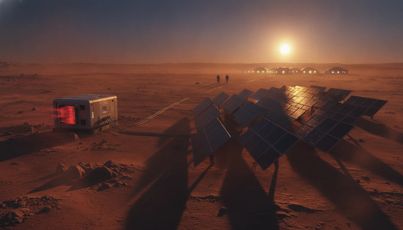
A compact fission surface-power unit and a field of solar panels on a Martian plain at dusk
Fission frees the map. A global dust storm cut Opportunity's power ~97% and killed it. A reactor does not notice the sky — so power stops forcing a settlement onto the sunny equator and lets it go where the water is, in the cold north.
Factor · Radiation

The Invisible Weather: Radiation

Mars has weather you can see. Dust storms, frost, the pale morning haze over the lowlands. It also has weather you can't see, and that one never lets up. Space radiation falls on the whole planet, day and night, summer and winter, and no shelter of air or magnetism turns it away. On Earth we live at the bottom of two invisible seawalls: a magnetic field that deflects charged particles and roughly ten meters of water-equivalent atmosphere overhead. Mars lost the first billions of years ago and never had much of the second. What reaches the ground is a steady drizzle of galactic cosmic rays and, a few times a year, a hard downpour from a solar flare.

The number that matters comes from a real instrument on the ground. NASA's Curiosity rover carried the Radiation Assessment Detector across the surface of Gale Crater, and it measured an average dose of about 0.64 millisieverts per day. Over a Martian year that adds up to roughly 0.23 sieverts. To put that in human terms: a US radiation worker's legal yearly limit is 50 millisieverts, so a year standing unshielded on Mars is about four and a half times an American nuclear technician's entire annual allowance, absorbed just by existing outdoors.

The trip is worse than the destination

Here is the part people get backward. The surface is not the dangerous leg. The journey is. In deep space, with no planet under your feet to block half the sky, Curiosity's detector clocked about 1.8 millisieverts per day in transit — nearly three times the surface rate. A slow, fuel-efficient conjunction-class mission, the kind you actually fly with today's rockets, delivers something close to 1 sievert of accumulated dose across the round trip. The ground, by comparison, gives you half the sky back for free: Mars itself absorbs everything coming from below the horizon.

That one sievert is the figure that keeps flight surgeons up at night. Fatal cancer risk scales with dose, and the best peer-reviewed model we have — Cucinotta's 2013 analysis — puts the central estimate of radiation-induced death from a Mars-class exposure at roughly 2.75 to 3.56 percent. The honest part of that paper is the error bar. Because we don't fully understand how heavy cosmic-ray nuclei damage human tissue, the upper 95 percent confidence bound runs as high as 6.5 to 8.9 percent. NASA's own career limit is a cap on this exact quantity: no astronaut is supposed to take on more than a 600-millisievert lifetime dose, and even that is under revision. Do the arithmetic and a single unshielded round trip plus a stay can eat that entire career budget by itself.

Why this shapes the map differently than everything else. Water, landing, air pressure, and warmth all sort candidate sites into winners and losers. Radiation almost doesn't. Because Mars has no global magnetic field to funnel particles toward the poles, the incoming dose barely changes with latitude — a settler at 45 degrees north gets essentially the same sky as one at the equator. Radiation doesn't tell you where to build. It tells you how.

The answer is depth, not geography

If you can't outrun the radiation by picking a spot, you shield against it by putting mass between yourself and the sky. And Mars, for all it lacks, has an unlimited supply of one thing: dirt. Regolith is a decent shield simply by being there, and the physics is forgiving. Bury a habitat under one to one and a half meters of packed Martian soil and the annual dose drops below 100 millisieverts — into a range a professional astronaut corps can actually live with. That's not a moon base fantasy. It's a bulldozer, a berm, and a roof strong enough to hold the load.

Nature has already built some of these shelters. Mars is riddled with lava tubes — collapsed volcanic caves, some tens of meters across — and the rock overhead does the shielding work for you. Model a habitat under a lava-tube roof and the surface dose falls by about 82 percent. Move in under enough rock and the invisible weather essentially stops. This is why the settlement problem is a digging problem. The first Martians will not live in gleaming domes under the open sky. They'll live underground, or under meters of piled regolith, and step outside on a dose budget the way a diver watches an air gauge.

Radiation is the one hazard that doesn't care where you land. It only cares how deep you're willing to dig.

The small edges that do exist

Geography isn't completely silent. Two levers move the surface dose a little, and both favor going low.

  • Elevation. The thin Martian atmosphere still absorbs some radiation, and there's more of it stacked over the deep basins. Dropping into the lowlands cuts the surface dose by roughly 15 to 25 percent versus the highlands. Hellas Planitia, the deepest basin on the planet at more than 7 kilometers below datum, has the thickest air column and the best natural radiation relief anywhere — one reason it scores as a pressure-and-radiation champion even as its southern isolation and dust storms sink its overall viability.
  • Canyon walls. Down on the floor of Valles Marineris, kilometers-high walls block a large slice of the sky, and the deep-basin air adds more. On radiation and pressure alone it would be a prize. The catch is that those same 7-to-11-kilometer walls make it a landing nightmare with today's descent technology — a case where the shielding is real but you can't get a heavy ship down to use it.

These are edges, not the story. A quarter-dose improvement is worth having, but it doesn't survive contact with the real fix. One good berm beats the best basin. That's why radiation ends up as a near-flat term across the northern Settlement Belt: Arcadia Planitia at roughly 40 degrees north, sitting 3 to 4.5 kilometers below datum, already banks the low-elevation bonus and scores top marks on shielding — and everything past that comes from the shovel, not the site.

Your drinking water is also your armor

The most elegant fact in Martian radiation shielding is that the best shield per unit mass isn't rock — it's hydrogen. Light nuclei are better at absorbing and scattering cosmic-ray energy than heavy ones, kilo for kilo, which means water and hydrogen-rich materials shield more effectively than an equal mass of regolith. And the belt regions were chosen, above all else, because they sit on top of minable water ice. That ice is not just the settlement's drink, its rocket propellant, and its oxygen supply. Line a habitat's ceiling with water tanks or bury it in ice-cemented ground, and the same resource that keeps people alive keeps the radiation off them.

This is the quiet reason the physics keeps pointing at one narrow arc of the northern lowlands. Low ground gives you a modest atmospheric shield. Shallow ice gives you the best structural shield there is, right where you're already digging for water. The place that's easiest to survive the invisible weather is the same place that's easiest to survive everything else — and it isn't a hemisphere. It's a band you could stake, parcel by parcel, along the ice line.

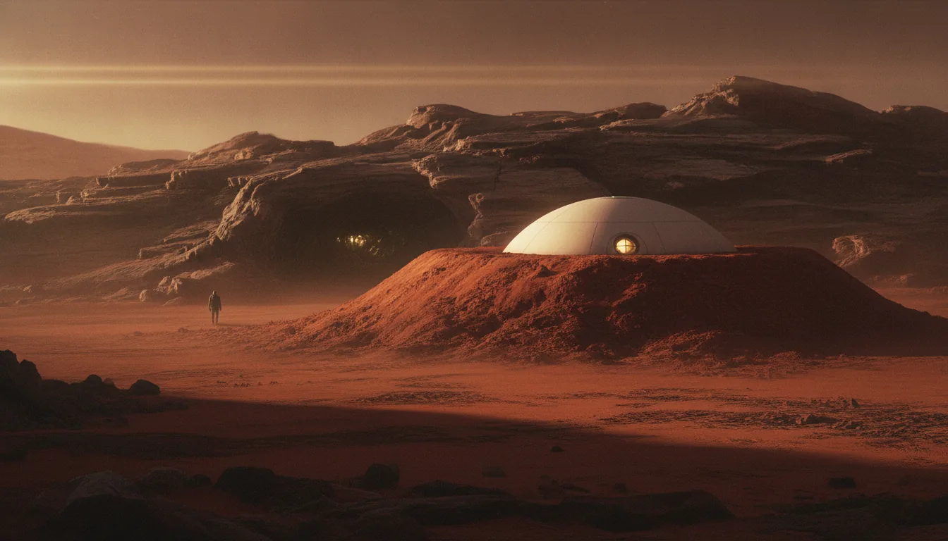
A Martian habitat half-buried under a protective mound of regolith beside a lava-tube entrance
Depth, not geography. Surface dose barely changes with latitude, so radiation tells you how to build, not where: 1–1.5 m of regolith drops the annual dose below 100 mSv; a lava-tube roof cuts it ~82%. Your drinking-water ice is also your best shield.
Factor · Dust

Dust: The Slow Corrosion

Every other threat on Mars announces itself. Radiation is invisible but constant. Cold is a number you can read off a thermometer. Dust is different. Dust is patient. It is the chronic tax a settlement pays every single day, whether the sky is clear or not, and it comes due in three currencies at once: power, hardware, and lungs. No candidate region escapes it entirely. But the amount you pay varies enormously from one patch of the northern plains to another, and that difference is one of the quieter reasons the Settlement Belt wins.

Start with the number that matters most for planning. In roughly 62 years of spacecraft observation, Mars has produced only 8 confirmed planet-encircling dust storms. Against a Martian year of 687 days, that is not a monster you fight every winter. It is closer to a once-a-decade event that darkens the entire planet. The most recent, in 2018, is the one that killed the Opportunity rover. At its worst it drove the atmospheric opacity, measured as optical depth or tau, to roughly 8.5 globally and near 10.8 locally. To translate: tau of 1 already dims the sun noticeably; tau near 10 means well over 99 percent of direct sunlight is blocked. The sky goes the color of weak tea, then the color of nothing. For a solar-powered outpost, that is lights-out for weeks.

Radiation and cold are steady adversaries you engineer against once. Dust is a creditor that shows up every day and occasionally empties the account.

Why fission changes the storm math

This is the first place site selection and power selection meet. A settlement that runs on solar panels treats a global storm as an existential event and must hoard enough stored energy to survive weeks of near-total darkness. A settlement that runs on fission treats the same storm as a nuisance. The reactor does not care that the sky is opaque. This is precisely why the front-runner regions score the way they do despite being cold and solar-poor: Arcadia Planitia, at HVI 86.2, is graded a clear A even though it sits far enough north to be dim, because the assumption baked into a serious first base is nuclear power. Dust storms stop being a lethal threat and become a maintenance problem. That reframing is only available to a settlement that has already decided not to bet its life on the sun.

The bright mantles you can simply avoid

Even between storms, dust accumulates. It settles out of a thin but never-truly-clean atmosphere and coats everything: solar panels lose output, radiators lose their ability to shed heat, seals and bearings grind, and every airlock cycle tracks it indoors. The question for a settler is not whether dust falls, but how much has already piled up where you land.

Here Mars is deeply uneven. A continuous dust mantle drapes about one-third of the planet across the Tharsis, Arabia, and Elysium regions, and in Arabia Terra that mantle reaches up to roughly 20 meters thick. That is not a dusting. That is a landscape buried under stories of the finest powder in the solar system, so bright and so deep that orbiters map it as some of the most dust-covered ground on Mars. Landing there means starting your settlement already half-swallowed.

The dustiest ground on Mars is also the highest and the most storm-prone. Olympus Mons and the Tharsis rise earn the thesis's only F, at HVI 22, for exactly this convergence: too high to land, too thin to brake, no surface ice, and a permanent bright dust mantle. Magnificent to look at, impossible to homestead. The dust map and the elevation map agree on where not to go.

The Settlement Belt sits deliberately off these mantles. The northern lowland plains of Arcadia and western Utopia are radar-bright and relatively clean, ground you can actually keep swept, rather than the deep, luminous powder fields of Arabia and Tharsis. Avoiding a 20-meter dust blanket is not a subtle optimization. It is the difference between routine housekeeping and a losing battle.

Dust devils and the storm nurseries

Below the rare global storms sits a constant churn of smaller weather. Dust devils — spinning columns that lift and redistribute surface dust — are strongest near plus or minus 60 degrees latitude, and among the northern plains, Amazonis and Elysium are documented hotspots. This is the one real dust demerit on Arcadia's warmer twin: Amazonis Planitia, HVI 83.2 and graded A-minus, is the flattest, lowest, best-lit of the ice plains, and it still carries a dust-devil habit that Arcadia proper does not. Dust devils are not catastrophic. They are, perversely, mildly useful — they can scour panels clean as often as they dirty them. But they are a steady abrasive load on exposed hardware, and a site that has fewer of them is a site that replaces fewer parts.

Then there are the storm nurseries — the places where regional storms are born before some of them grow to swallow the planet. Hellas Planitia, the deep southern basin, is one of the most active. Its physics are otherwise enviable: at 7 to 8 kilometers below the datum it has the thickest air and the best natural radiation shielding on Mars. But it nucleates regional dust storms, and that, combined with southern-hemisphere isolation, drags it to HVI 55.2 and a C. It is the clearest case in the whole index of a region with championship physics and disqualifying logistics. You do not build your first home inside the machine that makes the storms.

The hazard you breathe

The last currency is the human one, and it is the reason dust cannot be waved off as a mere equipment issue. Martian dust averages about 3 microns across — fine enough to lodge deep in human lungs, below the reach of the body's usual defenses. It is roughly 45 percent silica by weight, which is the mineral signature of silicosis, the same scarring lung disease that has plagued miners and stonecutters on Earth for centuries. And it carries 0.4 to 0.6 percent perchlorate by weight, a chemical that disrupts the thyroid's ability to take up iodine. Track enough of it indoors over enough years and you are looking at a settlement-wide occupational health problem: scarred lungs plus suppressed thyroids.

This is why dust drives real engineering — dust-lock entryways, positive-pressure habitats, aggressive filtration — and why the site still matters underneath all that hardware. Every gram you keep outside is a gram you never have to filter, scrub, or breathe. A clean-ground, low-storm parcel in the northern arc is not a luxury. It is the foundation the whole health regime is built on.

Dust is the slow corrosion — the tax nobody escapes and everybody underestimates. The belt does not beat it. It simply owes less: fission to shrug off the once-a-decade global storm, clean radar-bright plains instead of a 20-meter mantle, and a latitude band that sits off the worst of the dust-devil alleys and well clear of the storm nurseries to the south. That is what a defensible parcel looks like — not a place with no dust, but a place where the dust is a chore instead of a verdict. Worth knowing exactly which ground you would want to stand on before someone else documents it first.

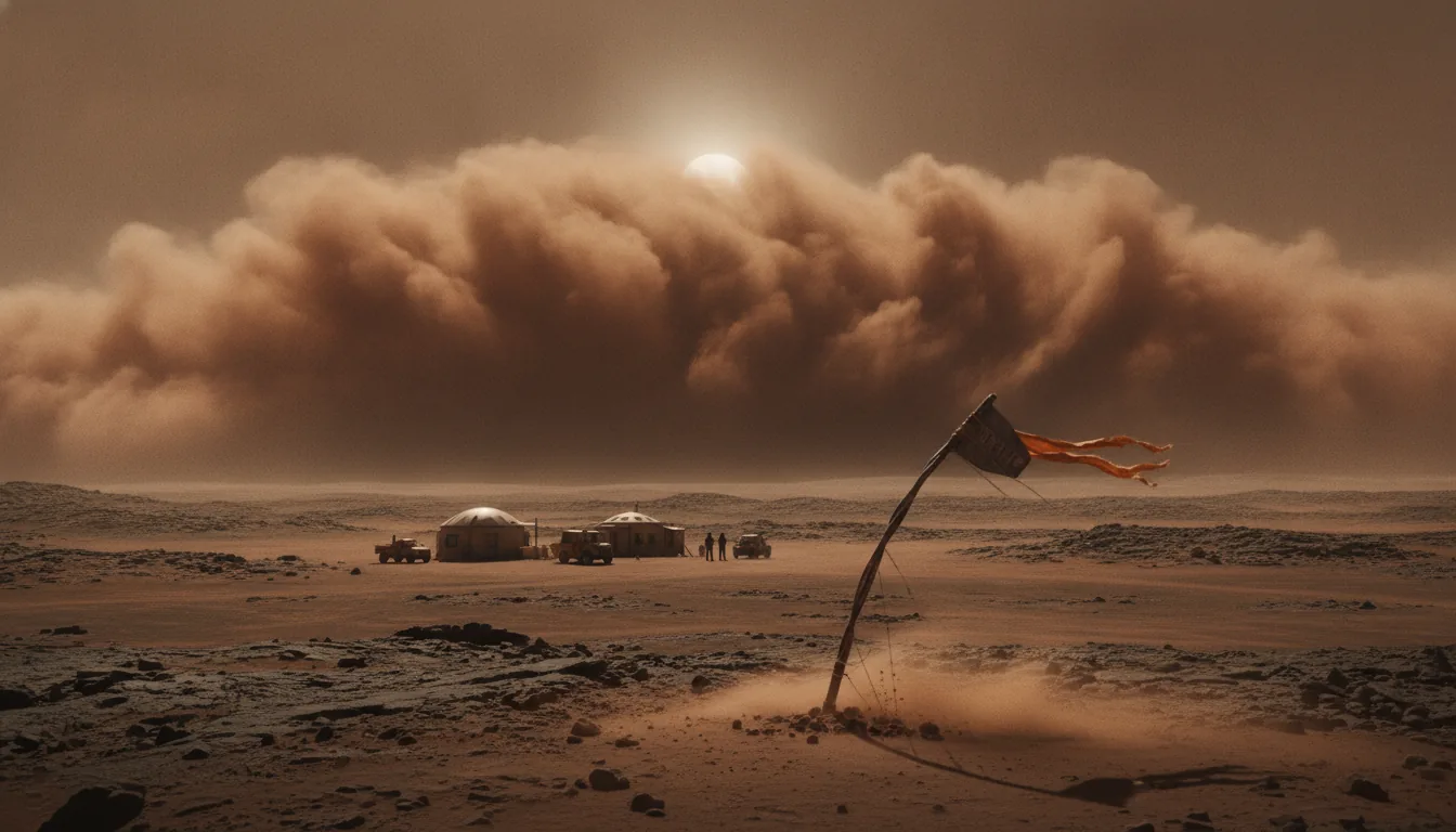
A towering wall of a Martian dust storm rolling toward a small outpost, the sun a dim disc
The slow corrosion. Dust taxes power, hardware, and lungs — ~45% silica, 0.4–0.6% perchlorate, ~3 µm across. The belt does not beat it; it owes less: fission to shrug off the once-a-decade global storm, and clean radar-bright plains instead of a 20-meter dust mantle.
The result

The Settlement Belt

Run every candidate region through the same eight factors, add up the scores, and something surprising happens. The map does not spread its bets. It collapses. The high scores do not scatter across the planet the way a tourist brochure of Martian wonders might suggest. They stack up inside one narrow band of latitude, a ring around the northern lowlands where two hard-to-find things happen to overlap. We call that band the Settlement Belt, and it is the whole conclusion of this thesis in one word: arc, not point, and certainly not hemisphere.

The belt is defined by an intersection. On one side you need shallow water ice you can actually mine, which the NASA-led SWIM project (Subsurface Water Ice Mapping) finds to be stable and consistent only poleward of roughly 40 degrees latitude. On the other side you need ground a heavy lander can reach: low, flat, radar-bright plains sitting below about -2 km elevation, so that a spacecraft using supersonic retropropulsion has enough atmosphere above it to brake. Neither condition alone gives you the belt. Plenty of Mars is low and flat and warm but bone dry. Plenty more is ice-rich but too high, too rough, or too far south to land on. Only where the two conditions overlap do you get a homestead. That overlap is a thin northern collar of the planet, and everything in this thesis has been circling toward it.

Where the numbers land

Here is the full ranking on the Homestead Viability Index, best to worst:

  • Arcadia Planitia — 86 (A). The front-runner, and the only tract that scores top marks on water, landing, elevation, and shielding all at once.
  • Amazonis Planitia — 83 (A-). Arcadia's warmer twin: flattest, lowest, best-lit of the ice plains, with ice slightly less proven and a dust-devil habit.
  • Utopia Planitia (western) — 74 (B). A Lake-Superior-sized ice reserve under smooth, already-landed-on ground. The belt's long-term water bank.
  • Elysium Planitia — 71 (B). The best place on Mars to land, and the worst to stay thirsty.
  • Deuteronilus Mensae — 70 (B). A vault of 80-90% pure glacier ice, gated by fretted terrain no heavy ship can set down on.
  • Acidalia Planitia — 68 (B-). Red Homestead's Founding Tract. In the belt on position and water, docked hard by its high latitude.
  • Gale Crater / Aeolis — 68 (B-). A proven, benign equatorial basin with everything except the one thing that matters most.
  • Chryse / Meridiani — 67 (B-). The classic safe doormat where the robots landed. Ice-poor.
  • Jezero Crater — 64 (C+). Priceless for science, thin on water.
  • Valles Marineris — 61 (C+). Deep-air relief undone by 7-11 km canyon walls.
  • Hellas Planitia — 55 (C). The pressure champion, undone by southern isolation and dust storms.
  • Olympus Mons / Tharsis — 22 (F). Too high to land, too thin to brake, no ice. A scenic dead end.

Read that list by geography and the pattern jumps out. Every score of B or better sits in the belt. Every score of C+ or worse sits outside it, almost all of them near the equator. The line between "homestead" and "not a homestead" is essentially a line of latitude.

Why the belt is narrow

Three independent constraints, each drawn from a different branch of the science, all point at the same band. That is what gives the conclusion its weight. First, the warmth-versus-ice trade: shallow ice reaches equatorward to about 30 degrees latitude before the ground gets too warm to hold it near the surface, so the sweet spot is the compromise zone between roughly 30 and 45 degrees. Second, the roughly -2 km elevation floor that heavy landers need to brake in the thin air. Third, SWIM's finding that ice consistency peaks poleward of about 40 degrees. Overlap all three and you are left with a core near 35-48 degrees north, with a warm inner edge dropping toward 30N at Amazonis and a cold, ice-rich outer edge near 50N at Acidalia.

You do not have to take the index's word for it. When SpaceX and JPL ran their own landing-site downselect, weighing ice, elevation, and terrain, they converged on roughly 40N Arcadia by the same logic. Two independent processes, one destination.

A southern mirror of the belt does exist, near 35-45 degrees south, where the same ice-plus-terrain math roughly holds. It loses. The southern hemisphere hits winter at aphelion, the far point of Mars's stretched orbit, which makes its cold seasons harsher, and its landing terrain is rougher. For a first base, the northern arc wins on every count that matters.

Water is the differentiator

Look at why the belt sorts the way it does and one factor does almost all the work. Every belt region scores 4 or 5 out of 5 on water. Every equatorial site scores 1 or 2. That single column is what separates the A's from the C's. It is why Elysium, which is flat, warm, well-lit, and genuinely the easiest place on the planet to set a ship down, still cannot crack the top tier. A great landing is not a homestead. It is a parking spot. You cannot drink telemetry.

Water is the belt-defining variable. A perfect landing zone with no ice is a depot, not a home.

The same verdict falls on Gale and Chryse and Meridiani, the equatorial sites the robots actually visited. They are safe, they are benign, they are well understood, and they will very likely serve as the first staging depots precisely because we know them so well. But they stage the belt. They do not anchor it. Settlement anchors where the water is.

What water buys you underground

That shallow ice does more than fill tanks. It is also the cheapest radiation shield on Mars. The NASA Langley "Mars Ice Home" concept works exactly this way: put the habitat where ground ice sits under 1 to 10 meters of soil, and use that ice and regolith as a wall against galactic cosmic rays, the steady high-energy sleet that Mars's thin air and dead magnetic field do nothing to stop. Water is rich in hydrogen, and hydrogen is one of the best mass-for-mass absorbers of that radiation there is. The Ice Home studies estimate this arrangement can cut the crew's cosmic-ray dose by more than half. So the belt's defining resource pulls double duty. The same ice that keeps a settlement alive also keeps it from slowly cooking. That is a coincidence of physics the equatorial sites simply cannot buy at any price, because they have no ice to bury under.

The front-runners

Inside the belt, the strongest ground is clear. Two adjacent regions lead:

  • Southern Arcadia Planitia — the candidate landing tracts labeled AP-1, AP-8, and AP-9, sitting near 40N at roughly -3 to -4.5 km elevation. This is the front-runner outright, cold and solar-poor but scoring top marks everywhere else. The cold and the dim sun are exactly what a fission reactor is for.
  • The Amazonis Planitia margin, running up to the Erebus and Phlegra Montes near 40N. Arcadia's warmer, lower, flatter twin, and the strongest landing zone on the belt's inner edge, giving up only a little on ice certainty.

Behind them, western Utopia is the strategic water bank and Deuteronilus is the glacier reserve you tap later once you can land there. The belt is not a single lot. It is a corridor, because ice depth, elevation, and dust load trade off continuously as you move along it. The sensible play is to anchor at Southern Arcadia and Amazonis, then expand east and west along the ice line as capability grows.

An honest word on the Founding Tract

Red Homestead's Acidalia Founding Tract sits at 49.8N, and we are not going to dress up its score. It earns a 68, a B-. It earns its seat in the belt honestly, on two real strengths: it sits squarely in the ice-rich northern lowlands, and its water potential is high. But 49.8 degrees north is a long way up. That latitude docks it hard on solar power and on warmth, because the sun sits lower and the winters bite deeper the farther you go from the equator. It is a belt region. It is not the front-runner, and anyone who tells you otherwise is selling, not scoring. What the Founding Tract offers is a documented, good-faith position on the right side of the only line that matters, priced as a collectible claim and nothing more. That is the honest pitch, and it is a stronger one than a fantasy A+ would be.

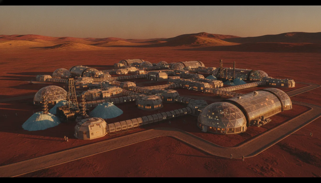
The belt is the answer this thesis has been building toward. When the first homestead is chosen, it will not be chosen for a view or a name. It will be chosen where minable ice meets landable ground, on a northern arc a few hundred kilometers wide. The parcel you can survey below sits inside that arc, on the map physics already drew.

The result

The whole planet, scored on one page

Twelve candidate regions, eight factors, one auditable number each. Read it by row for a region's profile, by column to watch water do most of the sorting.

RegionWaterElev / EDLLandingThermalPowerShieldingDustLogisticsHVIGrade
Weight →0.200.160.140.120.120.100.090.07×20
Arcadia Planitia~35-48N (landing sites ~40N) · -3 to -4.5 km5553254586A
Amazonis Planitia~25-35N · -3 to -3.8 (approx) km4554343583A-
Utopia Planitia (W)~45-47N · -4 to -5 km5542243374B
Elysium Planitia~4.5N · -2.6 km1455542371B
Deuteronilus Mensae~40N · -2 to -4 (rugged transition) km5423253370B
Acidalia · Founding Tract~49.8N · -3 to -4 (approx) km4542143368B-
Gale Crater~4.5S · -4.5 km1535444268B-
Chryse / MeridianiChryse ~28N / Meridiani ~2S · -2.5 (Chryse) / -1.5 (Meridiani) km1454434367B-
Jezero Crater~18.4N · -2.6 km1435434364C+
Valles Marineris~5-14S (equatorial) · -3 to -7 (floor) km2505452161C+
Hellas Planitia~40S · -7.2 to -8.2 km2532251155C
Olympus Mons / Tharsis~0-20N (Tharsis rise) · +18 to +21.9 (summit) km0013221122F
0 (hostile) → 5 (excellent)A in the belt · B single-virtue · C exotic · F unlandable

Every B-or-better region sits in the belt; every C-or-worse sits outside it, almost all near the equator. The line between “homestead” and “not a homestead” is essentially a line of latitude — and the single column doing the work is water. Region names link to the full Mars-guide deep dive where one exists.

The belt, drawn on the globe

shallow icedry equatorTHE SETTLEMENT BELT · 35–48°N80°N60°N50°N40°N30°N20°N0° eq20°S40°S60°SCO₂ winter frost reaches ~50°Acidalia · Founding Tract 68 B-Utopia Planitia (W) 74 BDeuteronilus Mensae 70 BArcadia Planitia 86 AAmazonis Planitia 83 A-Chryse / Meridiani 67 B-Jezero Crater 64 C+Olympus Mons / Tharsis 22 FElysium Planitia 71 BGale Crater 68 B-Valles Marineris 61 C+Hellas Planitia 55 C

Three independent constraints converge on one band. Shallow ice is stable poleward of ~40° (blue); the CO₂ winter frost line marches down to ~50° (orange dashes); warmth and sunlight fade the whole way north. Their overlap — the gold band, 35–48°N — is the Settlement Belt, and it is where the A-grades live.

A thriving early Martian town of domes and greenhouses on the flat Arcadia plain at golden hour
Southern Arcadia Planitia — 86 (A). The front-runner: top marks on water, landing, elevation, and shielding at once. Cold and solar-poor — which is exactly what a fission reactor is for.
A valley of mesas with a debris-covered glacier on its floor and a small homestead against a cliff
Deuteronilus Mensae — 70 (B). A vault of 80–90% pure glacier ice — gated by fretted terrain no heavy ship can land in. A reserve you tap later, not a first pad.
The frontier

Growing the Frontier

Choosing the right ground is only half the problem. The other half is getting there, and Mars does not let you leave whenever you like. Earth and Mars line up for an efficient transfer only once every 779.94 days — the synodic period, roughly 26 months. Miss it and you wait more than two years for the next one. That single number governs everything about how a settlement can grow. It cannot grow smoothly. It grows in pulses.

Within each 26-month cycle, the actual launch window — the span of days when the trajectory is cheap enough in fuel to be worth flying — is only about two to four weeks long. Everything you intend to send that cycle has to be built, tested, fueled, and stacked before that window opens, or it waits for the next one. A frontier that opens a crack every two years, and only for a few weeks, is not a place you improvise. It is a place you plan a full cycle in advance.

Cargo first, always

The discipline that falls out of this is simple and unbreakable: cargo goes first. NASA's Design Reference Architecture 5.0, the agency's most detailed human-Mars study, assumes that hardware for a crewed mission is pre-deployed a full cycle ahead of the people. The power plant, the habitat, the return vehicle, the supplies — all of it lands and is checked out by robots and remote operators before a single human leaves Earth. No crew launches toward a base that isn't already sitting on the surface, powered up and waiting.

The reason is the trip itself. Under DRA 5.0, a crew stays on the surface for roughly 500 days and is gone from Earth for about 900 days round trip — you go when the window opens, you wait out the long stretch while the planets swing back into alignment, and you come home on the next window. There is no early return. If the return vehicle isn't already fueled and standing on Mars when you arrive, you are stranded for two years. So it lands first, and it proves itself first.

A frontier that opens for a few weeks every two years is not a place you improvise. It is a place you plan a full cycle ahead.

All of this rides on a brutal mass penalty. Landing anything on Mars is expensive in a way that Earth logistics never prepares you for. As a working rule from mission studies, putting one ton on the Martian surface costs on the order of 12 to 13 tons in low Earth orbit — fuel, tankage, heat shields, landing propellant, all the mass you burn to move that one useful ton across the gap and set it down gently. Every kilogram you don't have to ship is a kilogram you don't have to multiply by thirteen. That math is what turns a settlement from a supply run into a mining operation.

Make it there, or don't go

This is why the second rule is ISRU — in-situ resource utilization, the practice of manufacturing what you need from Martian air, water, and rock instead of hauling it from Earth. The clearest example is the ride home. In DRA 5.0 the Mars Ascent Vehicle — the rocket that lifts the crew off the surface to begin the return — masses around 50 tons, and roughly 31 tons of that is liquid oxygen for its engines. Shipping 31 tons of oxygen from Earth would cost something like 400 tons in low Earth orbit to land. So you don't ship it. You make it on Mars, from the carbon dioxide that makes up most of the thin atmosphere.

We have proven the chemistry works. NASA's MOXIE experiment, a toaster-sized unit that flew on the Perseverance rover, pulled oxygen straight out of the Martian air across 2021 to 2023 — the first time humans manufactured a consumable on another planet. But scale is the whole story. MOXIE produced about 6 to 8 grams of oxygen per hour. To fill that ascent vehicle's tanks inside one 26-month cycle, you need a plant running at roughly 2 to 3 kilograms per hour — a jump of about 200 times. That is not a new invention. It is an industrial build-out: bigger reactors, real power, moving parts running for years in dust and cold. Proven in principle, unbuilt at scale. That gap is measured in tons of hardware and years of operation, not in a clever idea.

The pattern under every honest Mars plan is the same three words in the same order: cargo first, ISRU first, crew last. Water and fuel wait on the surface before people do — which is exactly why the ground you pick has to be able to feed a factory, not just host a landing.

The vehicle everyone is counting on

The plan to move real tonnage — the one that turns a research outpost into something that could grow — leans on SpaceX's Starship, designed to land on the order of 100 tons on the Martian surface per flight. That would be transformative. But it comes with a step that has not yet been demonstrated: a single Starship reaches Mars only after being refueled in low Earth orbit by a series of separate tanker launches, each rendezvousing and transferring cryogenic propellant. It takes many tanker flights to fill one Mars-bound ship. Orbital refueling at that scale — repeated, reliable, with super-cold propellants — is central to the architecture and, as of today, unproven in flight. Believe the 100 tons when the refueling works. Until then it is a plan, not a capability.

The honest arithmetic of growth

Now put the pulses together. Suppose everything works — Starship flies, refueling is solved, ISRU scales. You still add settlers only in 26-month batches, capped by however many ships you can build, fuel, and land inside each two-to-four-week window. That is the honest shape of the curve, and it is why the headline numbers and the calendar rarely agree.

  • First crew: the credible window across NASA and independent analyses is the late 2030s into the 2040s — not this decade.
  • The visionary's own clock: in February 2026, Elon Musk put a self-sustaining Mars presence 20-plus years out — from the person most motivated to say otherwise.
  • The famous target: one million people carried by a fleet of 1,000 ships is a stated aspiration, not a schedule. Growing a settlement in pulses of a few ships every 26 months, each ship a mining and construction project, stretches that vision across decades even in the optimistic case.

None of this is an argument against going. It is an argument for taking the timeline seriously — and the timeline is precisely why the ground gets chosen with such care. When your resupply arrives on a two-year heartbeat, you cannot afford to sit somewhere that can't feed itself. The first base has to make its own oxygen, mine its own water, and shield its own people from day one, because the next ship is 779 days away. That requirement is what pins the first homestead to the Settlement Belt — the narrow northern arc near 35 to 48 degrees north where minable water ice overlaps low, flat, landable ground — and to its front-runner, Southern Arcadia Planitia. Water is the belt-defining differentiator, and cargo-first, ISRU-first logistics is the reason water outranks everything else.

The frontier will grow slowly, in pulses, along that ice line — from Arcadia and the Amazonis margin outward toward the Utopia water bank and up to the Acidalia Founding Tract. Slow does not mean unclaimed. The parcels being surveyed now, and the good-faith records being drawn against them, are the paperwork of that first arc — documented before the ships arrive, on the exact ground the physics has already chosen. You cannot own Martian soil today; the 1967 Outer Space Treaty sees to that. What you can do is put your name on record early, on the ground that matters most, and survey a parcel while the belt is still a map instead of a town.

The shape of growth

A frontier that grows in pulses

Resupply arrives on a 779-day heartbeat, so population steps rather than climbs. The later the phase, the softer the number.

0101001,00010,000100,000Roboticpathfinder2026–31 windows0 humansOutpost(first crew)late-2030s–40s~4–12Base(continuous)~2040s–50s~20–50Town(belt cluster)~2050s–70shundreds–1kHomesteadfrontier22nd c.aspirational 10k+population (log scale) →solid = demonstrated in principle · dashed = speculative, decades out

Cargo first, ISRU first, crew last. Water and fuel wait on the surface before people do. A first crewed landing is honestly late-2030s-to-2040s; the million-person figure is an aspiration, not a schedule — which is why the dashed half of the curve is drawn dashed.

Two or three robotic cargo landers alone on an empty rust-red plain
Phase 0–1. Uncrewed cargo lands a full cycle ahead — power, propellant, and ice plants prove themselves before the first four-to-twelve-person crew arrives.
Scattered homesteads with domes and greenhouses spread across a surveyed plain to the horizon
Phase 3–4. Settlements string along the ice line, Arcadia outward toward the Utopia water bank and the Acidalia Founding Tract — multi-generational, and honestly speculative.
An enormous transparent dome of green fields on the Martian surface, bare frozen desert outside its wall
Not a green planet — a garden under glass. Jakosky & Edwards (2018) show the accessible CO₂ is only ~7% of what warming Mars would need; vaporizing the caps only doubles pressure to ~12 mbar. Every settlement is an enclosed, pressurized, paraterraformed habitat.
The honest close

What You Can and Can't Own

Everything up to this point has been physics. This section is law, and the honest answer is short: no one can hold legal title to Mars land today. Not a government, not a company, not you. If someone offers to sell you a deed that a court will enforce, they are selling you a story. What is real, and what is worth understanding carefully, is something narrower and more interesting than a title. It is a documented, good-faith claim of possession on a mapped parcel. That is a forward position and a collectible record, and it is priced by the same frontier logic that once priced the quarter-section next to the river or the rail line before either had a fence around it.

Start with the rule that governs the whole question. The 1967 Outer Space Treaty, ratified by more than 110 parties including every spacefaring nation, says in Article II that outer space, including the Moon and other celestial bodies, is not subject to national appropriation by claim of sovereignty, by use or occupation, or by any other means. No country can annex a Martian plain. And because no country can, no country can convey title to a citizen either. In most legal systems, private land title flows downstream from a sovereign that first held it. Cut off the source and the whole chain of ordinary real-estate title has nowhere to begin. There is no registry on Earth that can record enforceable ownership of a Martian acre, because there is no sovereign upstream with the standing to grant it.

Article VI closes the side door. It makes states internationally responsible for the activities of their own private actors in space, and requires that those activities be authorized and continuously supervised by the state. So a company does not float free of the treaty. Whatever SpaceX or any operator does on Mars, its home government answers for, and licenses. Private conduct is tethered to public responsibility. That is the architecture: no national ownership, and no private ownership that quietly routes around the national prohibition.

What the newer law actually granted

People sometimes point to two recent statutes as if they cracked the door to land ownership. They did not, and it is worth being precise about what they did. The 2015 US Commercial Space Launch Competitiveness Act, at section 51303, gives an American citizen who recovers a space resource the right to possess, own, transport, use, and sell that resource. Luxembourg passed a closely parallel law in 2017. Read the words: both grant rights to the extracted resource, the ice you mine or the regolith you process, and both stop there. Neither grants, and both were carefully drafted not to grant, ownership of the ground itself. It is the difference between the fish and the sea. You can own the water you pull from a Martian aquifer once you have pulled it. You cannot own the aquifer.

The Artemis Accords, signed by more than fifty nations as of this writing, add one more idea that gets misread constantly. The Accords describe "safety zones" around operations. A safety zone is deconfliction, not property. It is a courtesy radius where you notify others and coordinate so two crews do not land on each other's fuel plant. It is explicitly non-exclusionary and non-permanent, and it confers no ownership of the land it temporarily surrounds. Think air-traffic spacing, not a fence line. Useful, real, and not a deed.

The legal frontier in one line: you can own what you extract and what you build, and you can document your presence on a parcel. You cannot own the parcel. Anyone telling you otherwise is either confused or selling.

Why the frontier still has value

Here is the part that matters if you are actually paying attention to this whole thesis. Frontiers have always been claimed before they were owned. The American Homestead Act of 1862 offered 160 acres to a settler who lived on and improved the land for five years, and over its life it conveyed roughly 270 million acres. But the settler's claim did not begin with a title. It began with an act of documented, good-faith possession, filed and dated, that ripened into ownership only later, once a legal framework caught up to the fact of settlement. The claim came first. The paper that made it property came second, and it came because people had already committed to the ground.

Mars is at that first stage now, minus the sovereign that eventually ratified the homesteader. What can exist today is the honest version of that first act: a mapped, timestamped, publicly recorded declaration that you have surveyed and claimed a specific parcel in good faith, with the parcel chosen on real physical merit rather than a dart throw. That is a forward claim and a collectible. It is a bet, made in the open, that when a framework does eventually emerge, priority and documentation and physical merit will count for something, the way a filed homestead claim counted.

The distinction to draw is against the novelty trade. The Lunar Embassy has sold something like 2.5 million "deeds" to lunar and planetary land as gift-shop items. Those are jokes with a certificate, unmapped, unscored, undated in any meaningful way, exclusive to no one because millions overlap. A serious forward claim is the opposite: a single, physically defensible parcel, chosen because the ground underneath it scored well on water, landing, elevation, and the other factors this thesis has walked through, and recorded so the claim can be shown to predate others. Same act as the 1862 homesteader. Different level of rigor entirely.

The claim comes first. The title, if it ever comes, comes second, and it favors whoever was there, on the map, with a date.

Two things this is not

First, it is not an investment. Say it plainly. A forward claim on Mars is not a security, not an asset with a return, not something that appreciates on a schedule, and no one honest will promise you ROI on it. It is a collectible and a stake in a frontier, held for the same reasons people have always held frontier claims: because they believe in where it is going and want their name on the record when it gets there. If that framing does not move you, the correct number of parcels to hold is zero.

Second, it is not a bet on terraforming. There is a romantic idea that Mars can be warmed into an open-air Earth, and the science says no. Bruce Jakosky and Christopher Edwards found in 2018 that all the carbon dioxide accessible on Mars, from the polar caps, the soil, and the rocks, adds up to only about 7 percent of what warming the planet would require. Vaporizing the polar caps entirely would roughly double the atmospheric pressure, to around 12 millibars, still well under 2 percent of Earth's sea-level pressure. You cannot breathe that, and you cannot walk in it. So the future here is not a green planet. It is enclosed and paraterraformed habitats, pressurized volumes built on chosen ground, expanding outward over generations. What you would claim is a place to put one.

Which brings the whole thesis back to a single point. If ownership someday grows out of possession the way it did on every earlier frontier, then the only claims that will matter are the ones anchored to ground that physics already endorsed. Not a name on a novelty page. A specific parcel, on the Settlement Belt, scored and mapped and dated, in the narrow northern arc where water and landable ground actually overlap. You cannot own Mars today. You can be documented, in good faith, standing on the best part of it. That is the parcel worth surveying.

A survey monument and a single plain, blank flag planted in the rust-red Martian soil at dawn
The claim comes first; the title, if it ever comes, comes second — and it favors whoever was there, on the map, with a date. The 1967 Outer Space Treaty bars ownership today. What is real is documented, good-faith possession of a physically-chosen parcel: a forward claim and a collectible, never an investment.

What this index can't tell you

A score is an argument, not an oracle. The honest caveats, in plain sight:

  • All subsurface ice figures are remote-sensing inferences (SHARAD radar dielectrics, neutron hydrogen, thermal/geomorphic proxies); no lander has ground-truthed mid-latitude buried ice (Phoenix confirmed only shallow ice at 68N), and Arcadia's ice fraction is genuinely contested (Bramson 2015 vs Campbell & Morgan 2018).
  • The weights are transparent expert judgment, not empirically derived; a solar-only or robotic architecture would re-weight power and thermal and reshuffle the mid-pack. The HVI is an argument you can audit and change, not a law of nature.
  • Integer 0-5 scoring compresses real within-region variation, and several per-region elevations (Amazonis, Acidalia) are medium/low-confidence encyclopedia MOLA values rather than per-tract DEMs.
  • Landing safety and load-bearing capacity are inferred remotely (thermal inertia, radar reflectivity, HiRISE imaging) until a lander arrives; a site can still surprise a heavy vehicle with weak regolith or buried ice.
  • The hardest human-factors risks are settlement-wide, not site-specific, and no score captures them: zero long-duration human data exist for 0.38g, CNS radiation risk is unquantifiable, closed-loop ECLSS is unproven for humans, and dust toxicity is untested on people.
  • Dates and populations are the least reliable outputs: a first crewed landing is honestly late-2030s-to-2040s, a self-sustaining city is speculative, and the 1,000,000-person / 1,000-ship figures are Musk aspirations, not engineering commitments.
  • Terraforming is impossible with present technology (Jakosky & Edwards 2018: accessible CO2 is ~7% of what warming needs; vaporizing the caps only doubles pressure to ~12 mbar), so every score assumes enclosed/paraterraformed pressurized habitats - no site offers open-air habitability.
  • Legal hard rule: nothing here conveys enforceable title. OST Art. II bars appropriation and no court or registry can grant Mars land today; all value framing is documented good-faith possession / a forward claim / a collectible - never investment, ROI, appreciation, or a security.
Sources

The record this rests on

1
Hassler et al. (2014) — Mars' surface radiation environment measured with Curiosity's RAD. Science 343.
2
Dundas et al. (2018) — Exposed subsurface ice sheets in the Martian mid-latitudes. Science 359.
3
Stuurman et al. (2016) — SHARAD radar reveals a Lake-Superior-sized ice deposit in western Utopia Planitia. Geophysical Research Letters.
4
Bramson et al. (2015) — Widespread excess ice in Arcadia Planitia. Geophysical Research Letters.
5
Campbell & Morgan (2018) — Contrary radar evidence for a largely ice-poor shallow subsurface in Arcadia. GRL.
6
Petersen et al. (2018) — 80–90% pure ice in lobate debris aprons, Deuteronilus Mensae. GRL.
7
Morgan et al. / SWIM (2021) — Subsurface Water Ice Mapping on Mars: a multi-dataset consistency model. Nature Astronomy.
8
Golombek et al. (2017) — Candidate human landing sites and the <-2 km, <5° downselect for heavy landers. Landing Site Workshops.
9
NASA (2015) — First Landing Site / Exploration Zone Workshop for human missions to Mars (~47 EZs).
10
Hoffman et al. (2022) — Mars Oxygen ISRU Experiment (MOXIE): first in-situ resource production on another planet. Science Advances.
11
Gibson et al. (2018) — KRUSTY: the Kilopower reactor ground demonstration. NASA / DOE.
12
NASA Fission Surface Power (2022) — 40-kWe surface reactor design contracts for the Moon and Mars.
13
Jakosky & Edwards (2018) — Inventory of CO₂ available for terraforming Mars — ~7% of what warming requires. Nature Astronomy.
14
Cucinotta et al. (2013) — Space radiation cancer risk and uncertainty for a Mars mission. PLOS ONE.
15
NASA Langley 'Mars Ice Home' (2016) — An inflatable, ice-shielded surface habitat concept.
16
Drake (ed.), NASA DRA 5.0 (2009) — Mars Design Reference Architecture 5.0: cargo-first, ISRU-first mission design.
17
Outer Space Treaty (1967) — Art. II (no national appropriation); Art. VI (state responsibility). UNOOSA.
18
US CSLCA §51303 (2015) &amp; Luxembourg (2017) — Ownership of extracted space resources — not of land.
19
Artemis Accords (2020– ) — Non-exclusionary 'safety zones' for deconfliction, not property.

Peer-reviewed papers, NASA/JPL mission data, and primary treaty text. Where a figure is contested — Arcadia's shallow-ice fraction most of all — the section says so out loud.

The map physics already drew

Survey a parcel on the Settlement Belt.

You cannot own Martian soil today — the 1967 Outer Space Treaty sees to that. What you can do is put your name on record early, in good faith, on ground the science actually endorses: mapped, dated, publicly published.

Survey Mars & stake a parcel →    Read the region-by-region Mars guide

Important legal disclaimer

No conveyance of legal title. The 1967 Outer Space Treaty (Art. II) bars national appropriation of celestial bodies, and no sovereign, court, or land registry currently has jurisdiction to grant or enforce private title to land on the Moon, Mars, or any celestial body. Red Homestead does not and cannot convey legal ownership or any presently-enforceable property right.

What you purchase. A claim-documentation and registry service — the preparation, notarization support, public publication, opposition-period adjudication, and continuous-possession recordkeeping of a good-faith homestead claim — together with a collectible certificate. It is a record of your claim and intent, not a title.

Not an investment; not a security. Your payment is not an investment of money in a common enterprise and carries no expectation of profit from our efforts. We make no representation as to resale value, appreciation, or return. The claim is not offered as a security and is not registered with the SEC, any state securities regulator, or any other authority.

No guarantee of recognition; no sovereignty; not legal advice. We model the process on frameworks in which documented good-faith possession was sometimes later recognized, but we do not guarantee any authority will ever recognize your claim. No Red Homestead claim asserts national sovereignty. Nothing here is legal, tax, or financial advice.